CRFR: Dry Creek Fire updates

Colorado River Fire Rescue

Dry Creek Fire Update – June 24, 2026

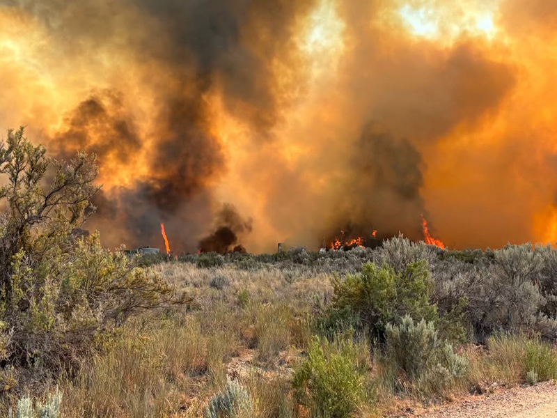
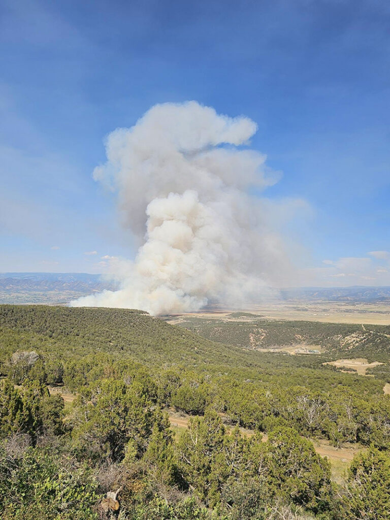
As of this morning, the Dry Creek Fire south of Rifle is estimated at 315 acres.

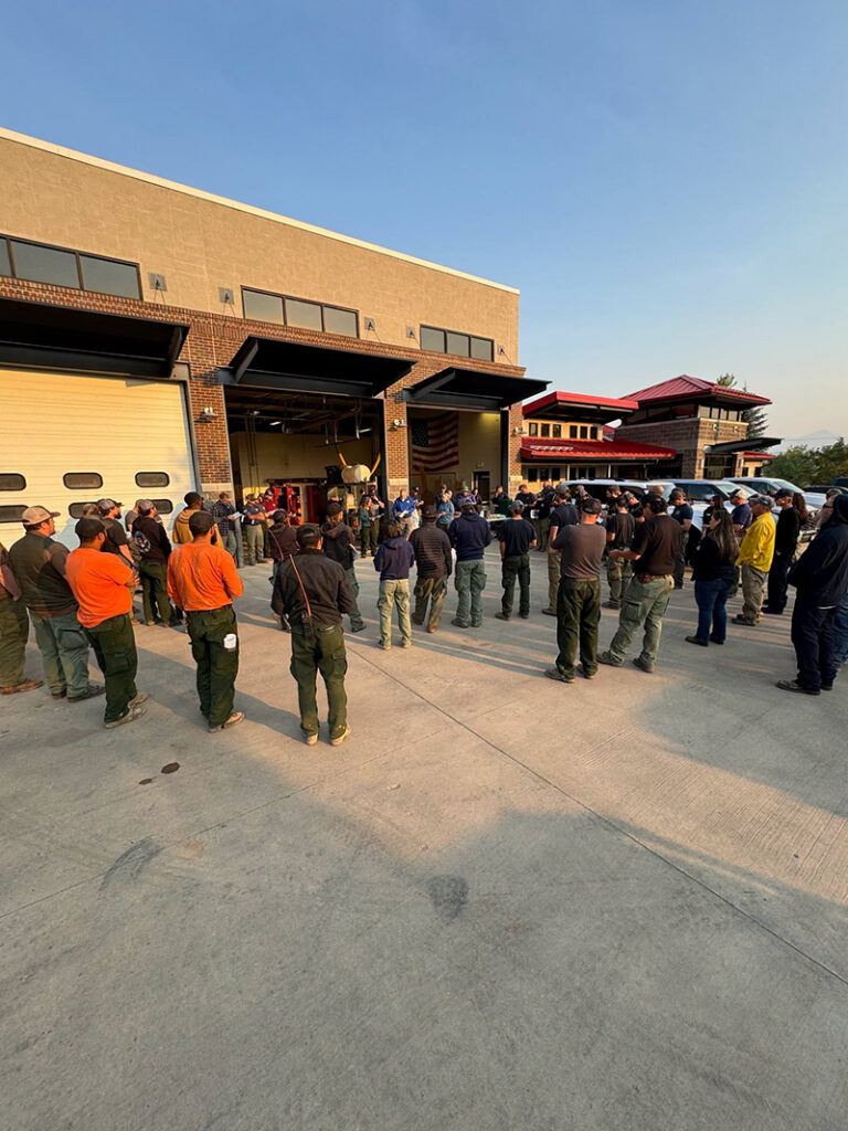
At 7:00 a.m. today, management of the fire transitioned to the Upper Colorado River Interagency Fire Management Unit Type 3 team. During this morning’s briefing, crews reviewed current fire conditions and operational objectives before heading into the field.

Firefighter and public safety remain the top priority. Crews are utilizing a full suppression strategy with direct and indirect tactics to slow the fire’s spread and construct containment lines around the fire.

Evacuation orders remain in effect for affected areas and are expected to remain in place throughout the day due to extreme fire behavior conditions and the forecasted winds are expected to test the fire line this afternoon. Residents are encouraged to stay informed by monitoring the latest evacuation information and updates at https://www.garfieldcounty.net/
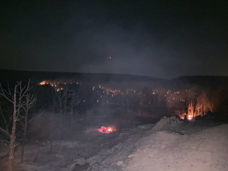
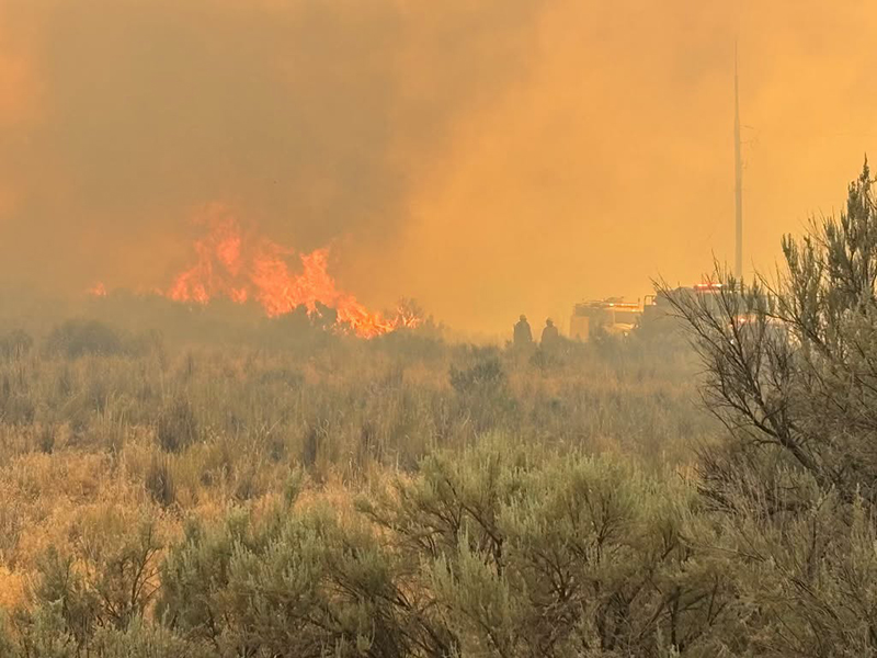
Emergency services respond to the dry creek fire at night

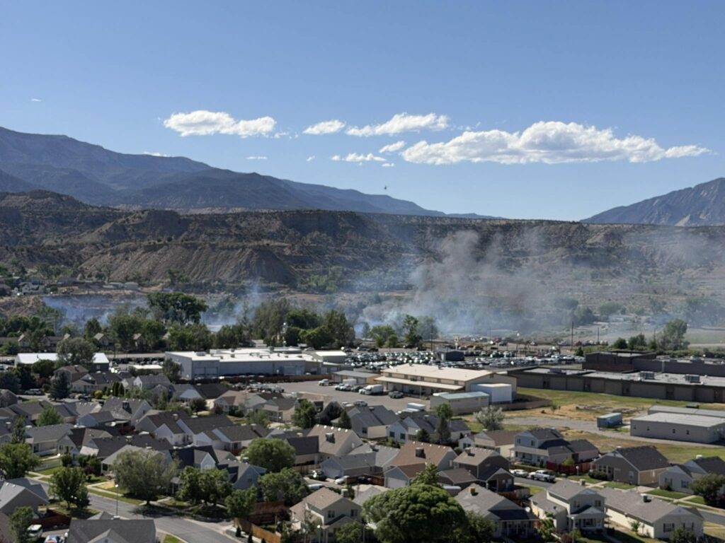
plume of smoke from Dry Creek Fire

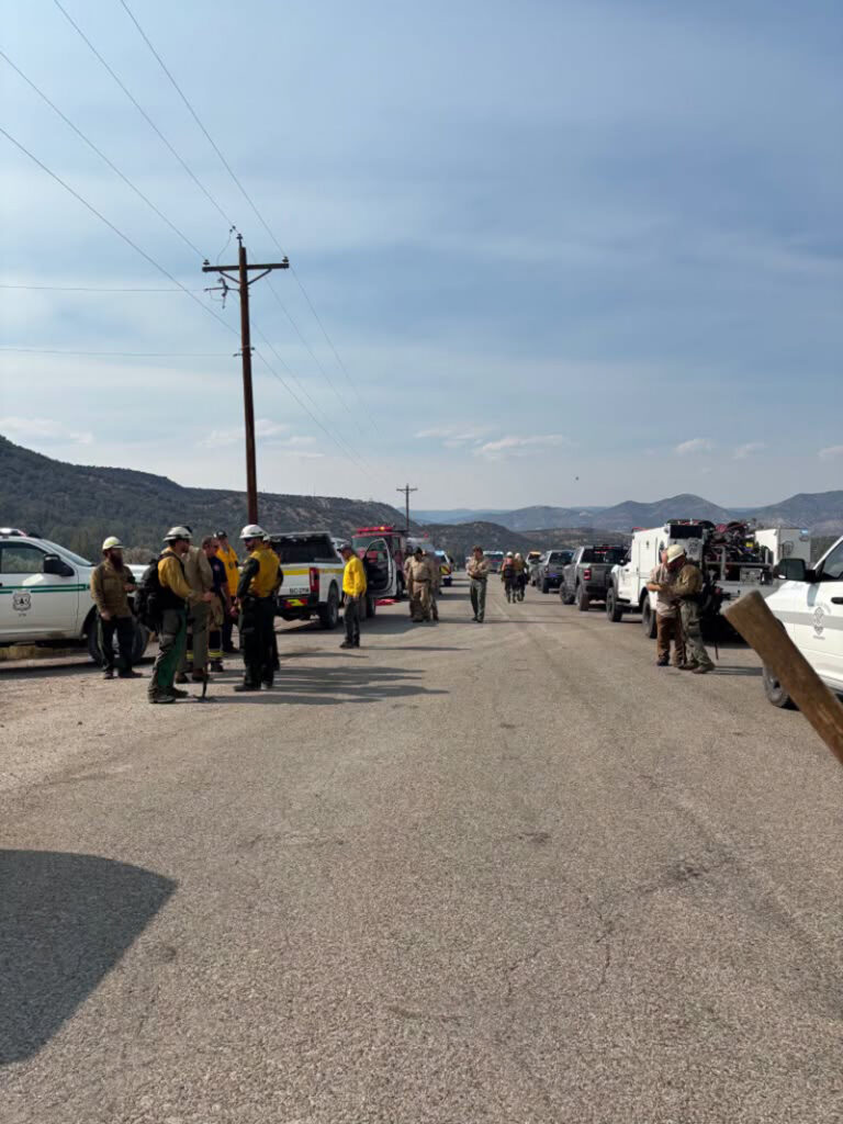
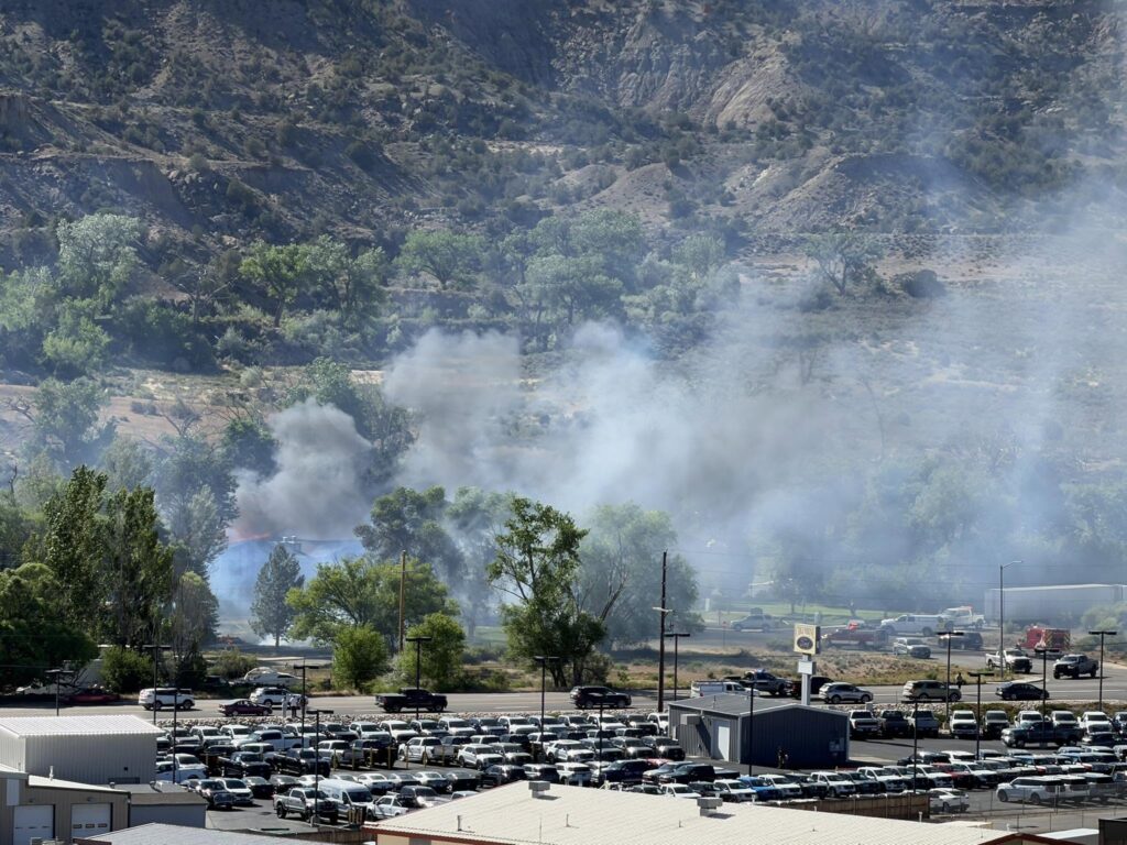
Emergency services respond to the dry creek fire

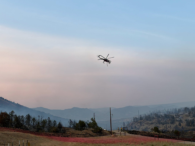
Aerial emergency services respond to the dry creek fire

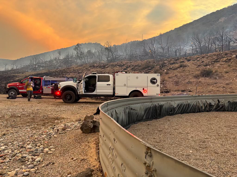
Emergency services respond to the dry creek fire

Emergency services respond to the dry creek fire

Emergency services respond to the dry creek fire

Emergency services respond to the dry creek fire

Customers impacted by power outages can find current outage updates through Xcel Energy at https://co.my.xcelenergy.com/s/outage-safety/outage-map

Fire personnel are working closely with Xcel Energy to inspect power lines and infrastructure so that power can be safely restored when conditions allow.

Colorado River Fire Rescue
CRFR website | facebook: #ColoradoRiverFireRescue
CRFR: Dry Creek Fire updates

CDPHE: Air quality health advisory for wildfire smoke

Colorado Department of Public Health and Environment

Avisos en Español para todo el Estado (Colorado)

Issued for Mesa, Garfield, Montrose, Delta, San Miguel, Dolores, Ouray, San Juan, Hinsdale, Mineral, Gunnison, Montezuma, La Plata, Archuleta, Saguache, Rio Grande and Conejos Counties
Issued at 2:36 PM MDT, Tuesday, June 23, 2026

Issued by the Colorado Department of Public Health and Environment

Affected Area: Mesa, Garfield, Montrose, Delta, San Miguel, Dolores, Ouray, San Juan, Hinsdale, Mineral, Gunnison, Montezuma, La Plata, Archuleta, Saguache, Rio Grande and Conejos Counties. Locations include, but are not limited to Grand Junction, Glenwood Springs, Montrose, Nucla, Delta, Telluride, Dove Creek, Ouray, Silverton, Lake City, Creede, Gunnison, Cortez, Durango, Hermosa, Honeyville, Rockwood, Pagosa Springs, Saguache, Del Norte, South Fork and Conejos.

Advisory in Effect: 3:00 PM MDT, Tuesday, June 23, 2026 to 9:00 AM MDT, Wednesday, June 24, 2026

Public Health Recommendations: If smoke is thick or becomes thick in your neighborhood you may want to remain indoors. This is especially true for those with heart disease, respiratory illnesses, the very young, and older adults. Consider limiting outdoor activity when moderate to heavy smoke is present. Consider relocating temporarily if smoke is present indoors and is making you ill. If visibility is less than 5 miles in smoke in your neighborhood, smoke has reached levels that are unhealthy.

Outlook: Smoke from several fires burning in upwind states is being transported into Colorado and is expected to impact air quality Tuesday afternoon through Wednesday morning. The potential for rapid increases in smoke levels remains possible throughout the Advisory area through Wednesday morning.

For the latest Colorado statewide air quality conditions, forecasts, and advisories, visit: https://www.colorado.gov/airquality/colorado_summary.aspx

For the latest Smoke Blog, visit: https://colosmokeoutlook.blogspot.com/

For more information about smoke and your health, visit: https://cdphe.colorado.gov/outdoor-burning/wildfire-smoke-and-health

CDPHE: Air quality health advisory for wildfire smoke

CRFR: Lift-Up is at the Rifle Fairgrounds until 1:00 PM today

Colorado River Fire Rescue

Lift-Up is at the Rifle Fairgrounds until 1:00 PM today to support families displaced by yesterday’s fire.

If you or someone you know has been affected and is in need of food, supplies, or other essential items, please stop by. Help us spread the word so that everyone who needs assistance can access these resources.

Rifle Fairgrounds

Until 1:00 PM today

Please share with anyone who may have been impacted.

CRFR: Lift-Up is at the Rifle Fairgrounds until 1:00 PM today

Rifle Police Department: Public safety alert

Rifle Police Department

Update – 5:22 pm – Those displaced by the North Rifle fires may seek refuge at the Garfield County Fairgrounds, where the Red Cross and DHS will provide support.
Rifle fire
______________________________________________________________________
Update – 5:16 pm – @ Journey Home Animal Care Center will accept any pets from evacuated families. The shelter is open to help. Address: 1500 Prefontaine Ave, Rifle, CO 81650. phone: (970) 625-8808
_______________________________________________________________________

Update
– 5:07
pm – West 30th has been closed.

_______________________________________________________________________

First responders are on the scene of a fire near Highway 13 and W. 26th Street in north Rifle.
West 26th Street is closed at this time.

Please avoid the area at this time and use alternate routes if possible. Emergency personnel are actively working in the area.

We will provide updates as more information becomes available.

Rifle Police Department: Public safety alert

Garco911 / ECSO: High-risk traffic stop turns manhunt following officer-involved shooting near Dotsero

Eagle County Sheriff’s Office

News Release Update: 1.13.26- High-risk traffic stop turns manhunt following officer-involved shooting near Dotsero

Eagle County, Colo.- The shelter in place remains ongoing for the Dotsero area as a precaution. I-70 westbound is still closed at mile marker 133, and I-70 eastbound is closed at mile marker 119. Our crews continue working diligently towards reopening the roadway when it is safe to do so. We will have a brief update for the media at 1 pm in the B lot of the Eagle County Sheriff’s Office, 955 Chambers Avenue. Media Personnel, please follow the signs to the staging area. Sheriff Van Beek and our partners will provide an update on the investigation and suspect information.

Visit Eagle County Sheriff’s Office on facebook.

________________________

Actualización del Comunicado de Noticias: 1.13.26. Una parada de tráfico de alto riesgo se convierte en una persecución tras un tiroteo con participación policial cerca de Dotsero

Condado de Eagle, Colorado. Como medida de precaución, se mantiene la orden de permanecer en casa en la zona de Dotsero. La I-70 en dirección oeste sigue cerrada en el marcador de milla 133, y la I-70 en dirección este está cerrada en el marcador de milla 119. Nuestros equipos siguen trabajando diligentemente para reabrir la carretera cuando sea seguro hacerlo. Ofreceremos una breve actualización para los medios de comunicación a la 1 p. m. en el estacionamiento B de la Oficina del Alguacil del Condado de Eagle, 955 Chambers Avenue. Los medios de comunicación deben seguir las señales hasta la zona de reunión. El Alguacil Van Beek y nuestros socios proporcionarán información actualizada sobre la investigación y el sospechoso.

Visite la página de la Oficina del Sheriff del Condado de Eagle en facebook.

Garco911 / ECSO: High-risk traffic stop turns manhunt following officer-involved shooting near Dotsero

NWS: Flash flood warning – Garfield County

National Weather Service

BULLETIN – EAS ACTIVATION REQUESTED
Flash Flood Warning
National Weather Service Grand Junction CO
128 PM MDT Thu Sep 4 2025

Map of affected area

The National Weather Service in Grand Junction has issued a

  • Flash Flood Warning for…
    South Central Rio Blanco County in northwestern Colorado…
    Central Garfield County in west central Colorado…
  • Until 330 PM MDT.
  • At 128 PM MDT, Doppler radar indicated thunderstorms producing heavy rain across the warned area. Flash flooding is ongoing or expected to begin shortly.

Excessive rainfall over the burn scar will result in debris flow moving through the extreme southern portions of the Lee burn scar. The debris flow can consist of rock, mud, vegetation and other loose materials.

HAZARD…Life threatening flash flooding. Thunderstorms producing flash flooding.

SOURCE…Radar.

IMPACT…Life threatening flash flooding of creeks and streams, urban areas, highways, streets and underpasses.

  • Some locations that will experience flash flooding include…
    Rio Blanco.

PRECAUTIONARY/PREPAREDNESS ACTIONS…

This is a life threatening situation. Heavy rainfall will cause extensive and severe flash flooding of creeks…streams…and ditches in the Burn Scar. Severe debris flows can also be anticipated across roads. Roads and driveways may be washed away in places. If you encounter flood waters…climb to safety.

Move away from recently burned areas. Life-threatening flooding of creeks, roads and normally dry arroyos is likely. The heavy rains will likely trigger rockslides, mudslides and debris flows in steep terrain, especially in and around these areas.

NWS: Flash flood warning – Garfield County

Lee Fire: Operations update – August 28

FDNY Incident Management Team

August 28, 2025, Operational Briefing with Operations Section Mike Izzo and Resource Advisor Kristin Ross

Rio Blanco County Sheriff’s Office
BLM Colorado Fire
Bureau of Land Management Fire
Bureau of Land Management – Colorado
Colorado Division of Fire Prevention and Control
U.S. Forest Service – White River National Forest
Garfield County Sheriff’s Office – Colorado

Lee Fire: Operations update – August 28

Garco911: Road Closed

Garfield County Emergency Communications Authority

8.28.25, 3:15 pm – All lanes of Highway 82 is open at mile marker 7 westbound, Thunder River Market.

8.28.25, 3:09 pm – Right lane of Highway 82 is open at mile marker 7 westbound, Thunder River Market. Left lane remains closed. Drive with care.

8.28.25, 2:54 pm – Highway 82 is closed at mile marker 7 westbound, Thunder River Market, due to an accident. 

Garco911: Road Closed