Correction: The previous message had the wrong name in the headline for the fire.
Colorado River Fire Rescue
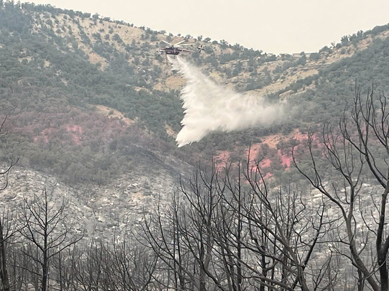
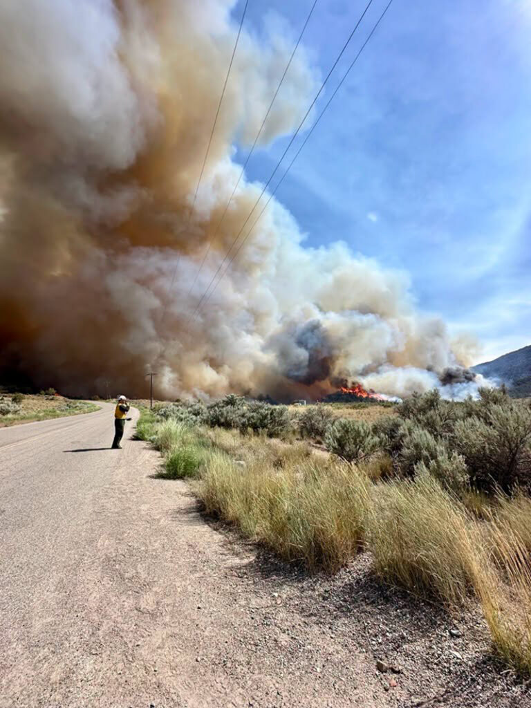
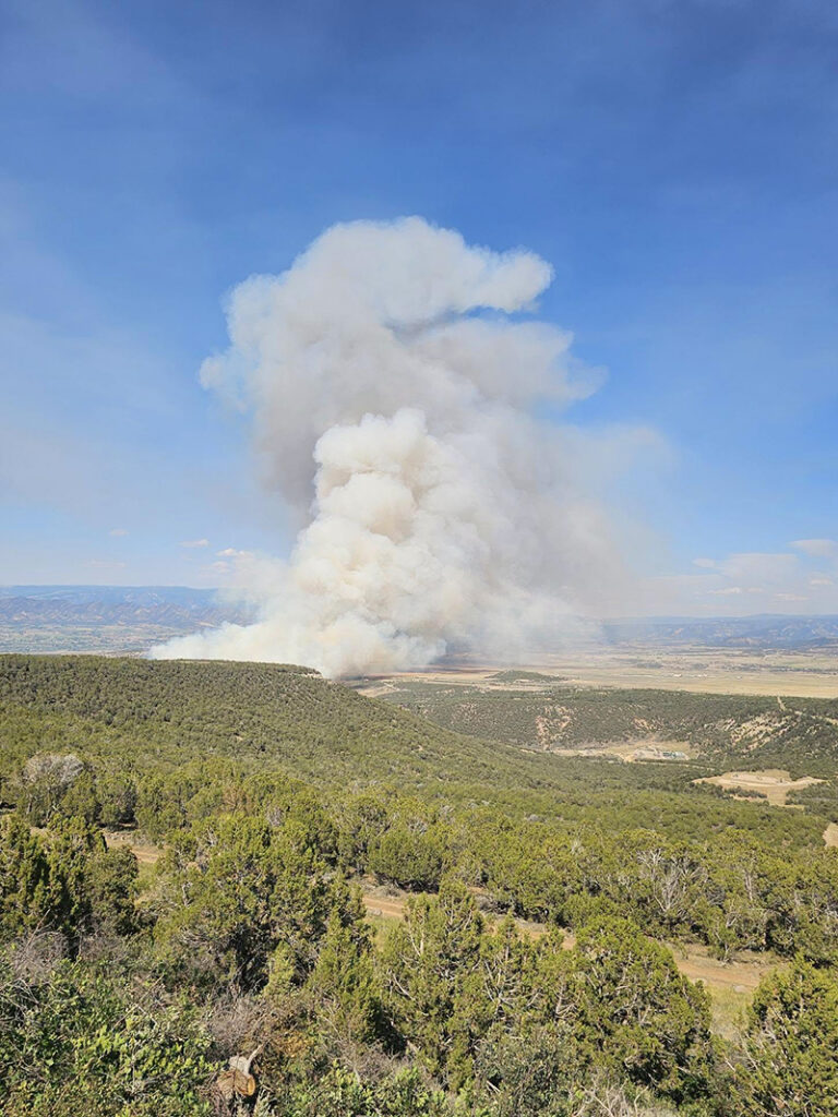
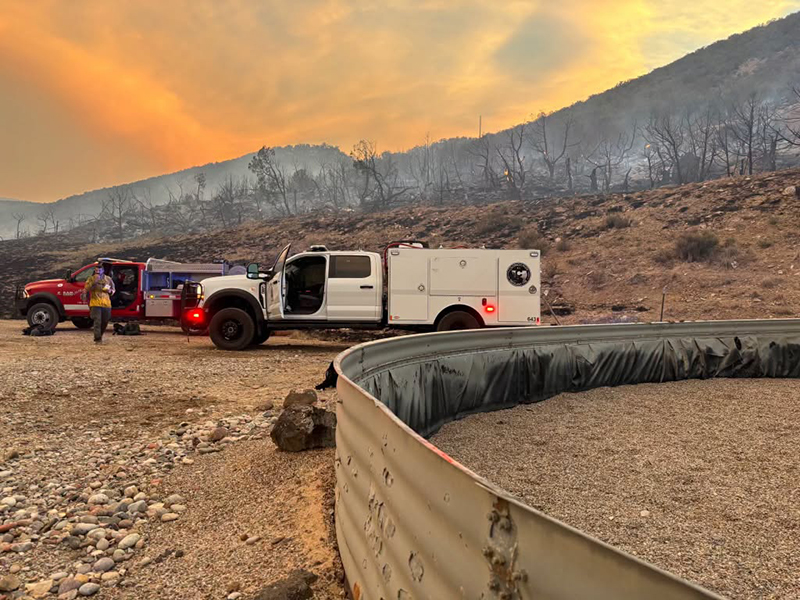
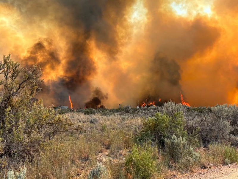
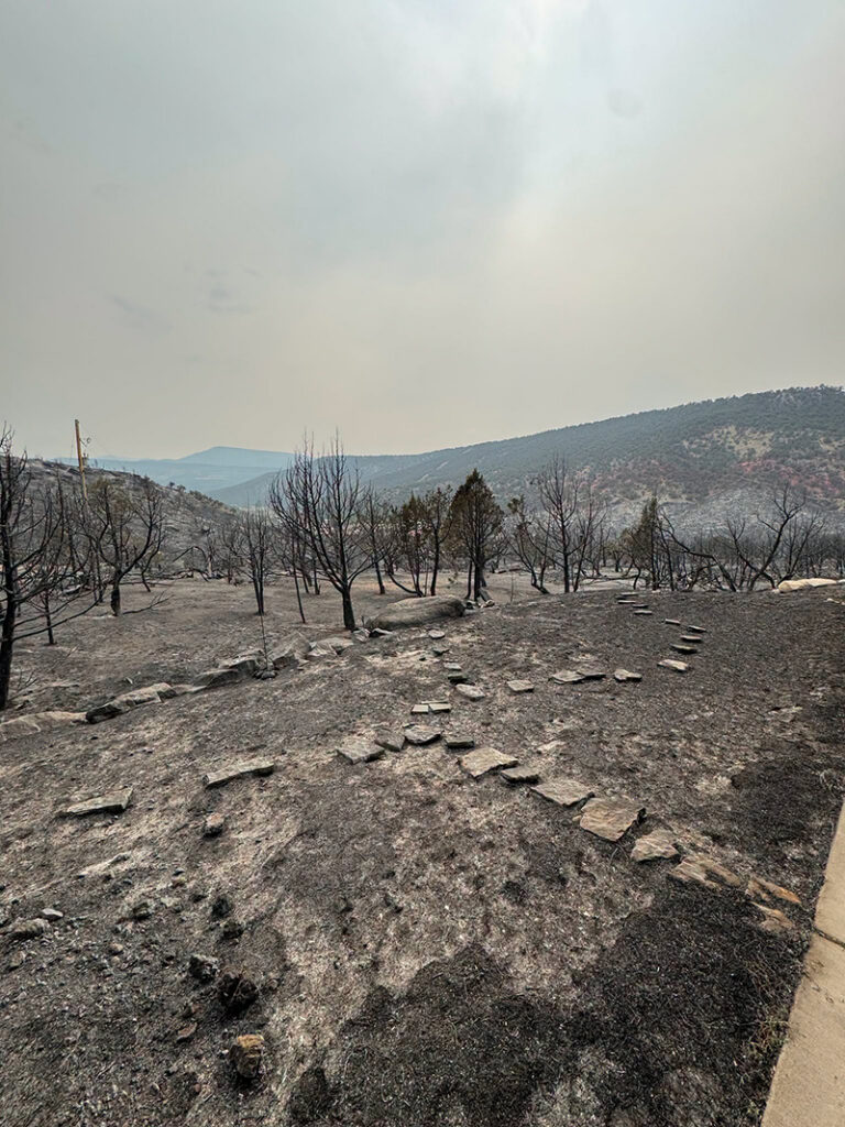
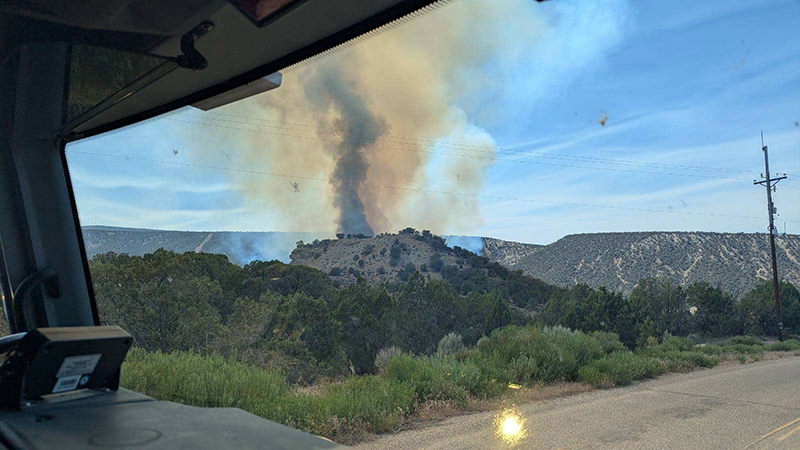
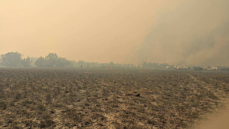
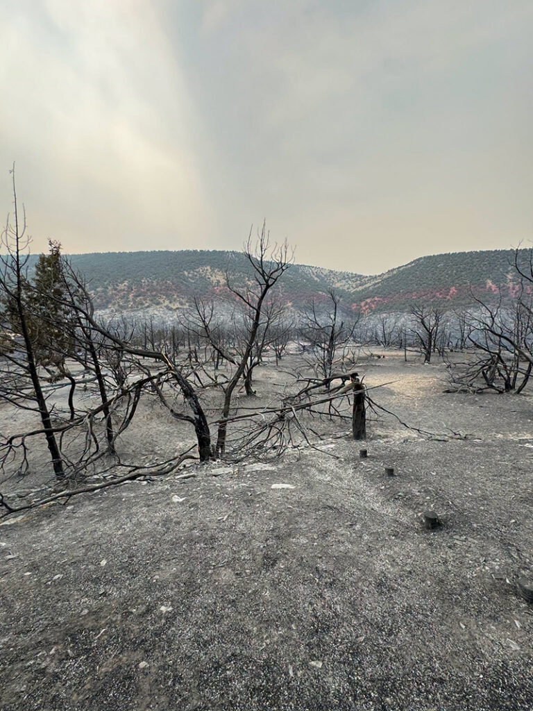
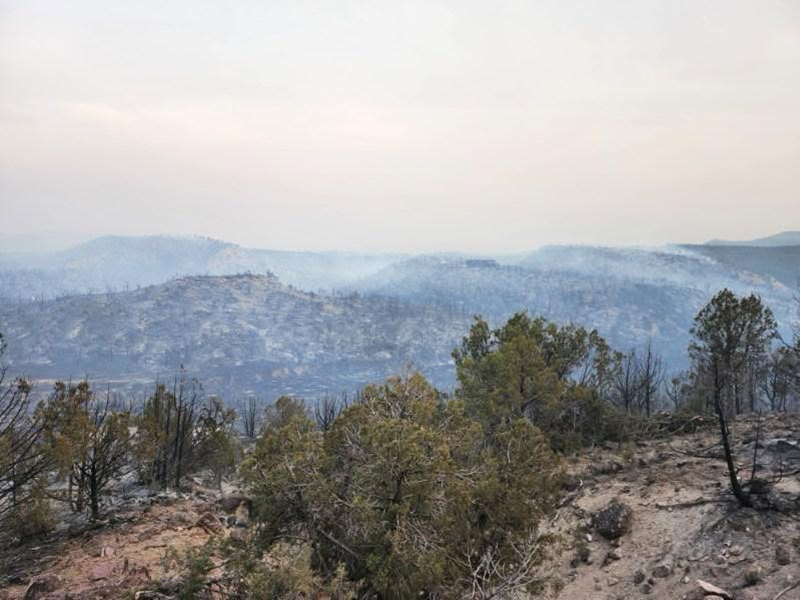
June 25, 2026, 9:11 a.m. – Thanks to firefighters’ efforts yesterday, the fire remains at 316 acres.
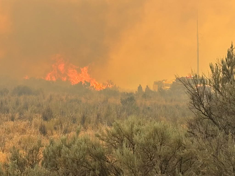
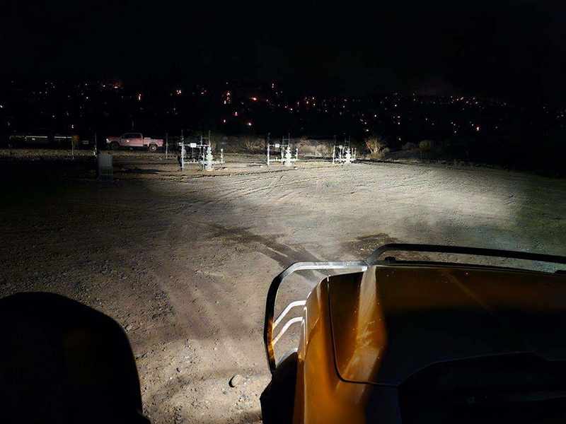
Overnight moisture provides favorable conditions for firefighter suppression efforts. Today, crews will focus on securing the fire perimeter and extinguishing hot spots on the interior area of the fire perimeter. Smoke dispersal forecasts improved smoke dispersal this afternoon.
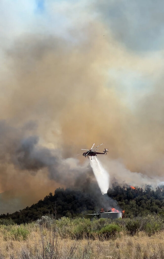
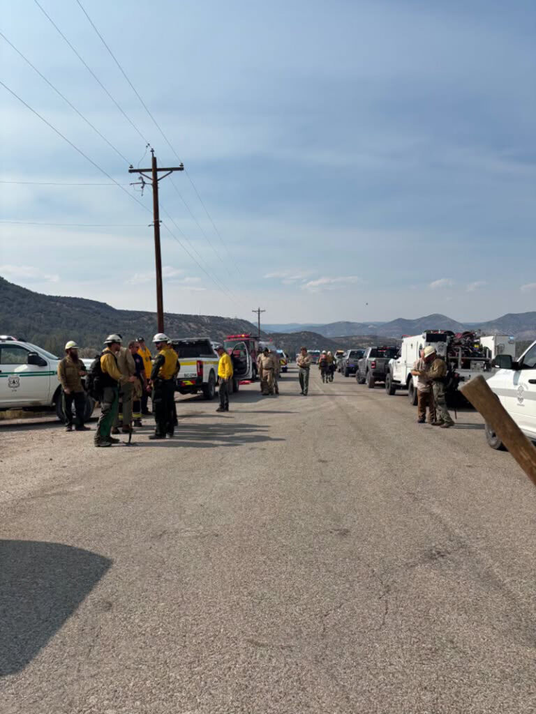
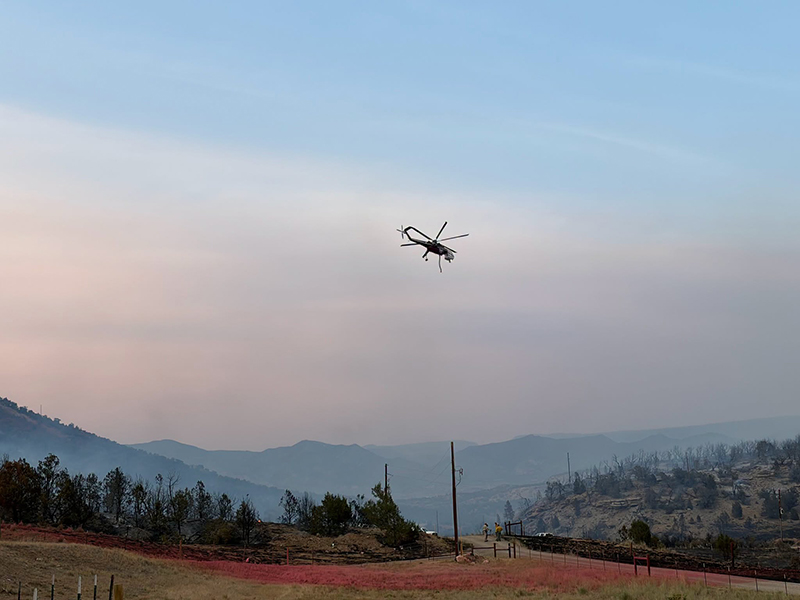
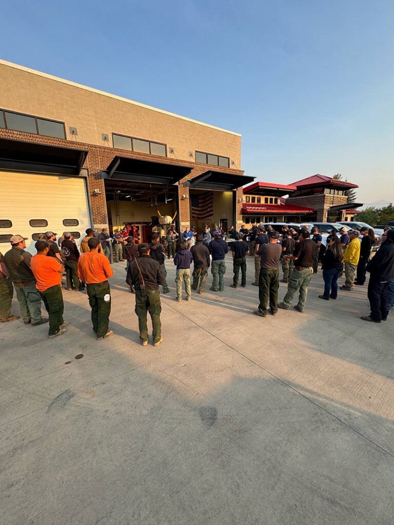
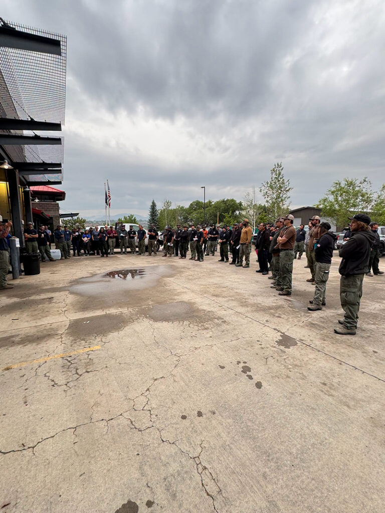
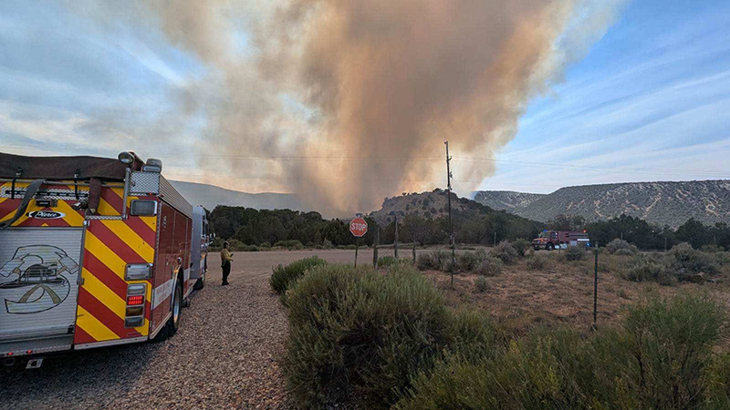
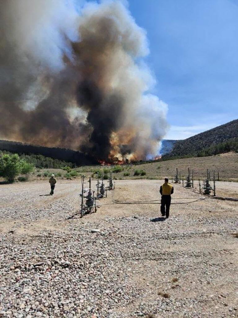
Resources assigned include three Type 2 hand crews, one suppression module, 11 fire engines, two water tenders, and one aircraft available if needed.
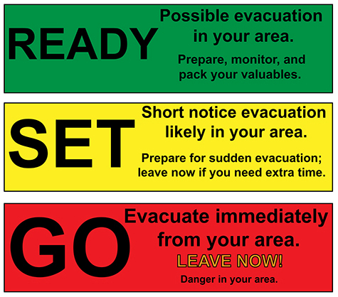
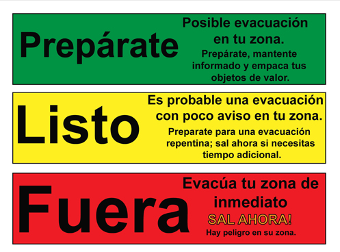
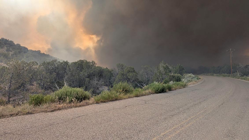
For the latest evacuation information, visit Garfield County’s evacuation map: https://bit.ly/drycreekfire. Firefighters remain active throughout the incident area, and increased fire apparatus traffic is expected. Please avoid the area if possible.

Information channels
Garfield County Sheriff’s Office
FACEBOOK – Garfield County Sheriff’s Office #facebook.com/GarcoSheriff
Garfield County Emergency Management
INCIDENT UPDATES/SUBSCRIBE – garfieldcounty.net
Garfield County Emergency Communications Authority
REGISTER FOR ALERTS – garco911.com and Reachwell mobile app
Colorado River Fire Rescue
CRFR website | facebook: #ColoradoRiverFireRescue