U.S. Wildland Fire Service and U.S. Forest Service
We are saddened to share the identities of the three firefighters we lost responding to the Knowles Fire in western Colorado on Saturday. The firefighters were assigned to the Rifle Helitack crew and were engaged in initial attack operations on the Knowles Fire when the incident occurred.
The deceased firefighters have been identified as:
Emily Barker, 38, of Clinton Township, Michigan, assigned to the U.S. Forest Service Rifle Helitack.
Nick Hutcherson, 27 of Glendale, Arizona, assigned to the U.S. Forest Service Kaibab National Forest.
Sydney Watson, 27, of Warrior, Alabama, assigned to the U.S. Wildland Fire Service Rifle Helitack.
Two additional firefighters were injured during the incident and are receiving medical care.
“We mourn the loss of three firefighters who answered the call to protect others and made the ultimate sacrifice in service to their fellow citizens,” said U.S. Wildland Fire Service Chief Brian Fennessy. “Our thoughts are with their families, loved ones, friends and crewmates as they face an unimaginable loss. These firefighters embodied the courage, professionalism and selflessness that define the wildland fire service. Please join me and my family in keeping our thoughts and prayers with the families of the fallen and our injured firefighters and their families.”
Full press release
U.S. WILDLAND FIRE SERVICE
website | facebook @USWFS
Departments of the Interior and Agriculture coordinating support for families, crews and communities
MESA COUNTY, Colo. — Federal wildland fire officials are releasing the identities of three firefighters who died while responding to the Knowles Fire in western Colorado on Saturday.
The firefighters were assigned to the Rifle Helitack crew and were engaged in initial attack operations on the Knowles Fire when the incident occurred.
The deceased firefighters have been identified as:
- Emily Barker, 38, of Clinton Township, Michigan, assigned to the U.S. Forest Service Rifle Helitack.
- Nick Hutcherson, 27 of Glendale, Arizona, assigned to the U.S. Forest Service Kaibab National Forest.
- Sydney Watson, 26, of Warrior, Alabama, assigned to the U.S. Wildland Fire Service Rifle Helitack.
Two additional firefighters were injured during the incident and are receiving medical care.
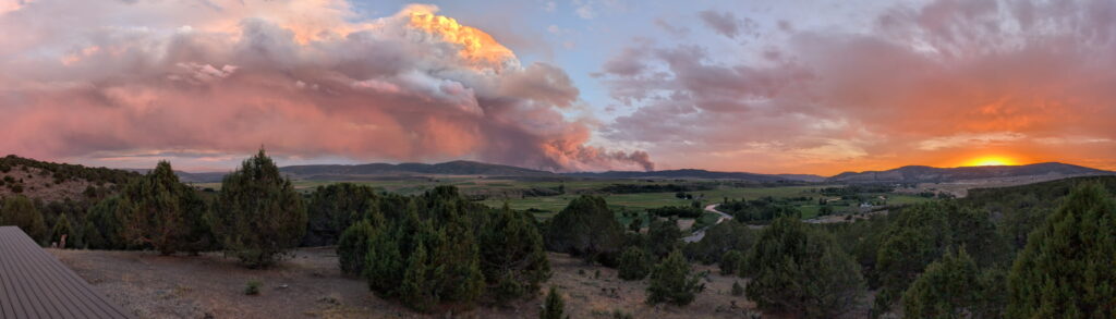
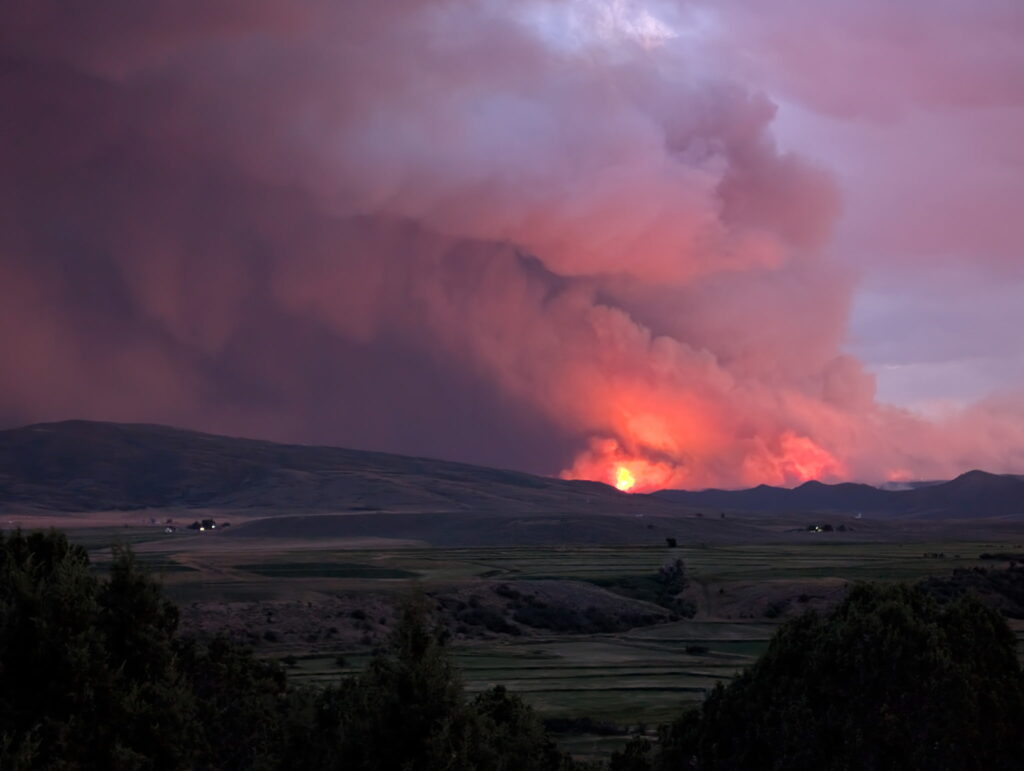
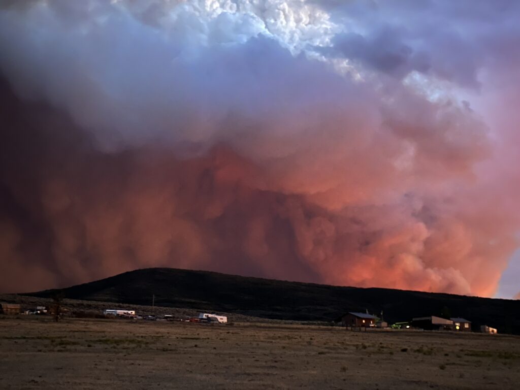
The Snyder Fire has merged with the Jones Fire and subsequently overtook the Knowles and Gore fires. All fire activity is now being managed and reported as the Snyder Fire. The fire is currently estimated at over 28,000 acres along the Colorado-Utah border.
An interagency complex incident management team has assumed command of the Snyder Fire.
“We mourn the loss of three firefighters who answered the call to protect others and made the ultimate sacrifice in service to their fellow citizens,” said U.S. Wildland Fire Service Chief Brian Fennessy. “Our thoughts are with their families, loved ones, friends and crewmates as they face an unimaginable loss. These firefighters embodied the courage, professionalism and selflessness that define the wildland fire service. Please join me and my family in keeping our thoughts and prayers with the families of the fallen and our injured firefighters and their families.”
“This is an incredibly difficult moment for the entire wildland fire community,” said Forest Service Deputy Chief Sarah Fisher. “Our heavy hearts are with the families during this unimaginable time. We recognize the tremendous impact this loss has on them and are deeply grateful for the devotion their loved ones brought to our organizations. We will honor their memory with compassion and support as their selfless service and commitment create an enduring legacy.”
The U.S. Department of the Interior’s Wildland Fire Service and the U.S. Department of Agriculture’s Forest Service are closely coordinating response efforts and providing support to the families, coworkers and loved ones of those affected by this tragedy.
A serious accident investigation team has been mobilized and is reviewing the circumstances surrounding the incident.
The wildland firefighting community mourns the loss of these firefighters. Additional information will be released as it becomes available.