Upper Colorado River Interagency Fire Management Unit
On Friday, July 31, 2026, vehicles from the U.S. Wildland Fire Service Honor Guard, U.S. Forest Service, Colorado Division of Fire Prevention & Control, Colorado Bureau of Investigation, and Colorado State Patrol will escort fallen firefighter Nathan Matthews and family from the Denver area to Grand Junction.
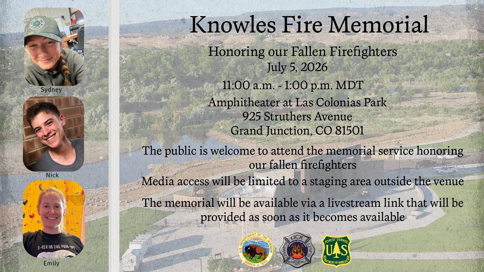
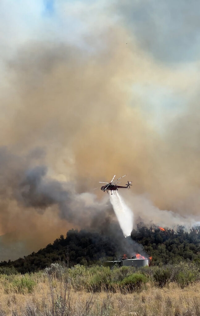
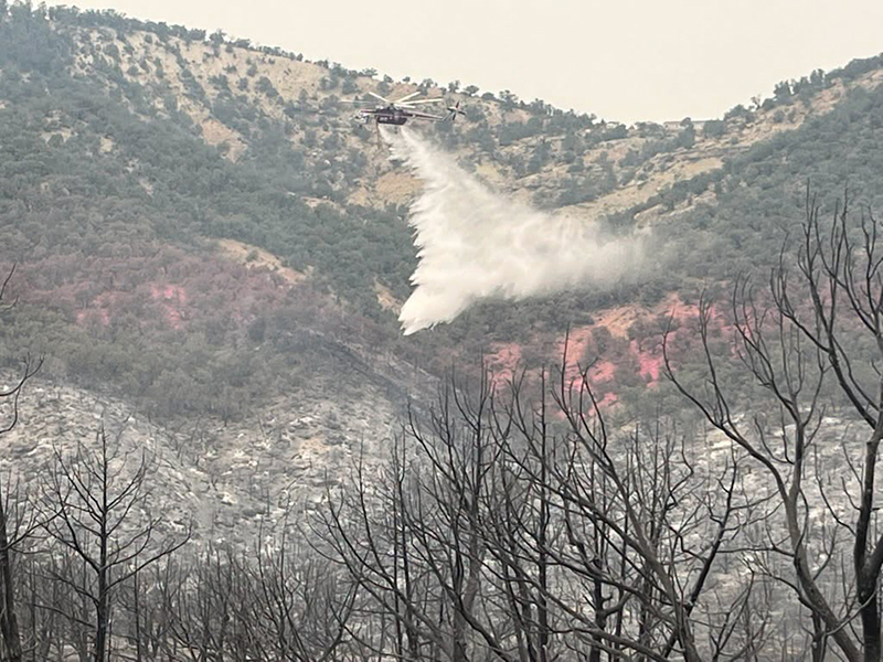
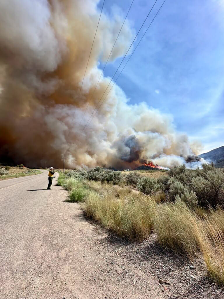
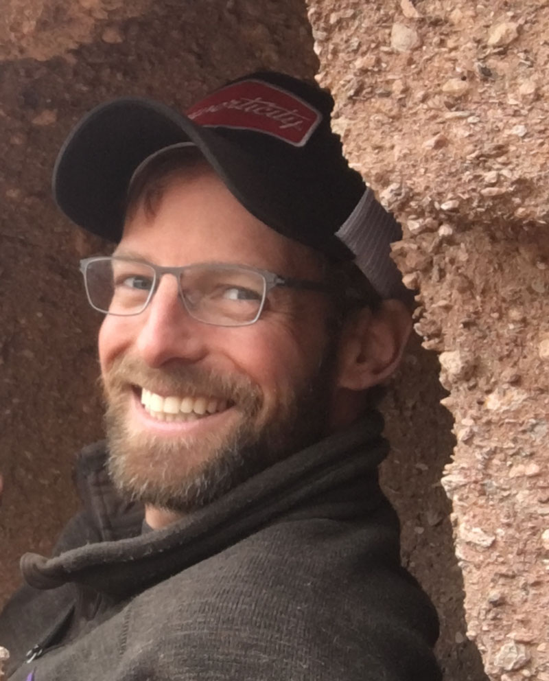
Nathan Matthews, a Rifle Helitack firefighter, died last Friday from burn injuries sustained while fighting the Knowles Fire in Mesa County on June 27. This escort will transport his remains to Grand Junction. It will be led by the Colorado State Patrol, with U.S Wildland Fire Service, U.S. Forest Service, Rifle Helitack, and DFPC escorting an unmarked vehicle carrying Nathan and his family.
To facilitate safe passage of the processional, CDOT will implement short rolling closures and brief temporary ramp closures along the route.
The escort will depart the Denver Federal Center at 7:30 a.m. sharp and travel via I-70 to the Bureau of Land Management facilities in Grand Junction. Members of the public in the Denver area are also invited to gather at the Furniture Row parking lot at 10301 W 6th Ave, Lakewood, by 7:15 a.m. The escort is expected to pass this location around 7:33 a.m. as it turns onto the westbound 6th Avenue on-ramp.
Members of the public wishing to show their support and pay their respects are encouraged to do so from the overpasses along the I-70 route. Those wishing to observe the escort elsewhere along the route should do so only from a safe and lawful location away from the interstate.
Do not park or stop on interstate shoulders, ramps, bridges or overpasses. Pedestrians must not enter the interstate, ramps, or other restricted roadway areas.
Motorists should not slow or stop in travel lanes to observe or photograph the escort. Do not attempt to follow, pass, or join the motorcade. Please obey all traffic laws, posted parking restrictions, and directions from law enforcement. Temporary traffic delays may occur along the route.
Updates on the escort’s progress will be periodically posted on the UCR facebook page to give a general sense of timing for upcoming towns and overpasses; however, this is not guaranteed to be precise, so please plan to arrive early and be prepared for a possible later-than-expected arrival.
UPPER COLORADO RIVER INTERAGENCY FIRE MANAGMENT UNIT
UCR website | facebook @UCRFireManagementUnit