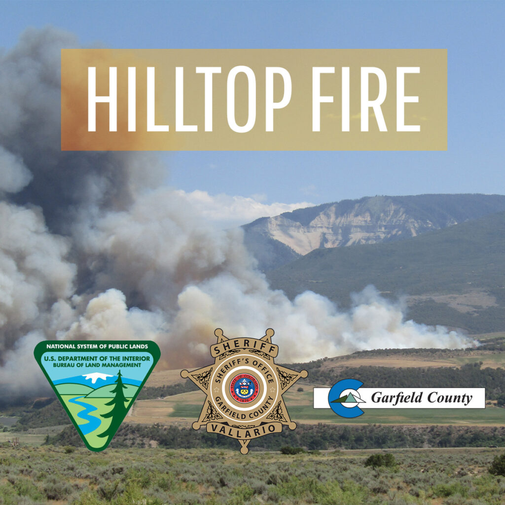
Upper Colorado River Interagency Fire Management Unit
July 16, 2025, 4 p.m. – The Bureau of Land Management will implement stage 2 fire restrictions for all lands managed by the Grand Junction Field Office, and lands managed by the Colorado River Valley Field Office within Garfield County effective 12:01 a.m. July 17. White River National Forest remains in stage 1.
Recent hot and windy conditions across Colorado have dried out the lower elevation landscape, and much of the Western Slope is under severe to extreme drought.
“The conditions across our region are significantly drier and more volatile than normal for mid-July,” said Upper Colorado River Interagency Fire Management Officer Tommy Hayes. “Prolonged heat, low humidity, and steady winds have rapidly dried out vegetation — especially native grasses, sagebrush and pinyon-juniper shrubs.”
Because of current conditions, a current National Wildland Fire Preparedness Level of 4, and several active fires in the region, officials decided to increase fire restrictions where most appropriate.
In addition to stage 1 restrictions, the following are prohibited on BLM-managed lands:
- Building, maintaining, attending or using a fire, campfire, charcoal grill, coal, wood stove fires, including in developed camping and picnic grounds. Devices using pressurized liquid or gas are exempted.
- Smoking, except within an enclosed vehicle, trailer, building or tent.
- Using an explosive requiring fuse or blasting caps, fireworks, rockets, exploding targets and tracers or incendiary ammunition.
- Operating a generator, chainsaw or any equipment powered by an internal combustion engine without a spark arresting device properly installed, maintained and in effective working order meeting either:
- Welding, or operating an acetylene or other torch with open flame.
Additionally, people should avoid parking in tall, dry grass; use working spark arresters on off-highway vehicles; and inspect trailers regularly to ensure chains do not drag.
BLM initiates restrictions to reduce the risk of wildfires and protect the public. Fire restrictions are implemented based on specific criteria, including the moisture content of vegetation, weather outlooks, and human risk factors.
For more information, please contact the Grand Junction Field Office at 970-244-3000 or the Colorado River Valley Field Office at 970-876-9000.
Fire restriction orders are available at BLM Colorado Upper Colorado River District Fire Restrictions.
The Colorado National Monument will enter stage 2 fire restrictions effective 12:01 a.m. Thursday.
The Grand Mesa, Uncompahgre, and Gunnison national forests will stay in stage 1 fire restrictions.