1.23.26, 9:35 p.m. – Between exit 116 – Glenwood Springs/Aspen and exit 119 – No Name at mile point 118.5 the roadway is reopened to traffic.
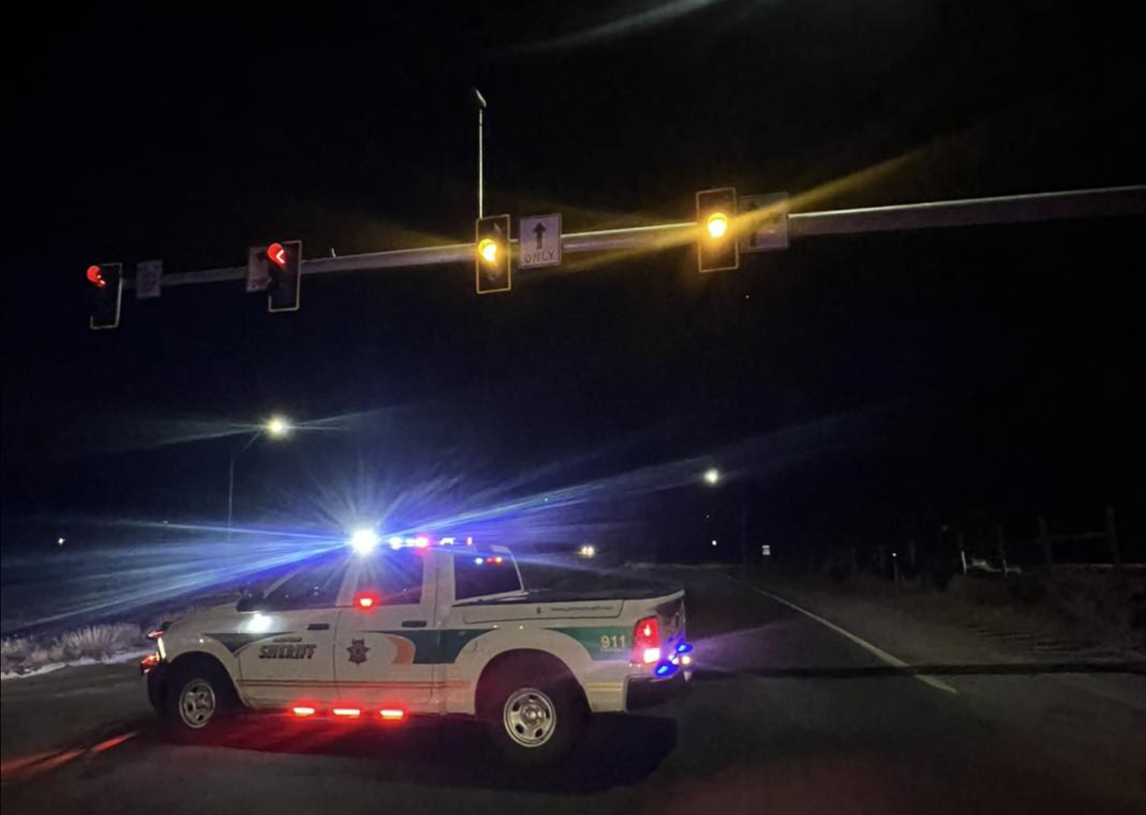
1.23.26, 8:30 p.m. – Crash on eastbound I-70 between exit 116 – Glenwood Springs/Aspen, and exit 119 – No Name, at mile point 118.5. Road closed, expect delays due to a crash.
Garfield County Emergency Communications Authority
1.23.26, 8:21 p.m. – I-70 is closed at mile marker 116 eastbound, Glenwood Springs exit, due to a multi-vehicle accident.
1.13.26, 4:40 a.m. – CORRECTION: I-70 is closed eastbound at the mile marker 119, No Name Rest Area.
1.13.26, 4:27 a.m. – UPDATE: Eastbound is now closed at the mile marker 116, Glenwood Springs. It is also closed westbound at the Gypsum exit in Eagle County.
Garfield County Emergency Communications Authority
1.13.26, 4:19 a.m. – I-70 is closed at mile marker 125 eastbound, Hanging Lake, due to police activity.