GarCo911: Highway 82 reopened – one lane in both directions at Cattle Creek Road

Garfield County Emergency Communications Authority

9.13.24, 12:13 p.m. – Highway 82 is open at mile marker 8, one lane in both directions, Cattle Creek Road.

9.13.24, 9:17 a.m. – Highway 82 is closed at mile marker 8 in both directions, Cattle Creek Road, due to an accident.

GarCo911: Highway 82 reopened – one lane in both directions at Cattle Creek Road

Garco911 and CDOT: Highway 82 eastbound reopened after land / mudslide, westbound still closed

Garfield County Emergency Communications Authority

8.12.24, 5:43 a.m. – Highway 82 is open between mile markers 6.5 to 5 eastbound, Thunder River Market intersection. Westbound remains closed.

Colorado Department of Transportation

8.10.24, 8:54 p.m. – Between Old Highway 82 and Red Mountain Road (1 mile west of Cattle Creek) at mile point 5.5, road closed. Expect delays due to a mud slide. Active mudslide activity, expect delays until tomorrow (Sunday, August 11) morning.

Garfield County Emergency Communications Authority

UPDATE: 8.10.24, 8:48 p.m. – Hwy 82 is closed between mile-markers 6.5 to 5 both directions, ThunderRiver Market Intersection, due to a land/mud slide.

Garco911 and CDOT: Highway 82 eastbound reopened after land / mudslide, westbound still closed

Garco911 and NWS: Flood warning / mudslide closes Highway 82 westbound

Garfield County Emergency Communications Authority

8.10.24, 8:31 p.m. – Highway 82 is closed between mile markers 6.5 and 5 westbound, Thunder River Market intersection, due to a land/mud slide.

National Weather Service

8.10.24, 8:07 p.m. – COC045-110300-
/O.NEW.KGJT.FF.W.0035.240811T0207Z-240811T0300Z/
/00000.0.ER.000000T0000Z.000000T0000Z.000000T0000Z.OO/

BULLETIN – EAS ACTIVATION REQUESTED
Flash Flood Warning – map of area
National Weather Service Grand Junction CO
807 PM MDT Sat Aug 10 2024

The National Weather Service in Grand Junction has issued a

  • Flash Flood Warning for…
    Along Highway 82 north of Carbondale in west central Colorado…
  • Until 900 PM MDT.
  • At 807 PM MDT, Doppler radar indicated thunderstorms producing
    heavy rain across the warned area. Flash flooding is ongoing or
    expected to begin shortly.

HAZARD…Flash flooding caused by thunderstorms.

SOURCE…Radar.

IMPACT…Flash flooding of small creeks and streams, urban
areas, highways, streets and underpasses as well as
other poor drainage and low-lying areas.

  • Some locations that will experience flash flooding include…
    mainly rural areas of Eastern Garfield County

PRECAUTIONARY/PREPAREDNESS ACTIONS…

Turn around, don’t drown when encountering flooded roads. Most flood
deaths occur in vehicles.

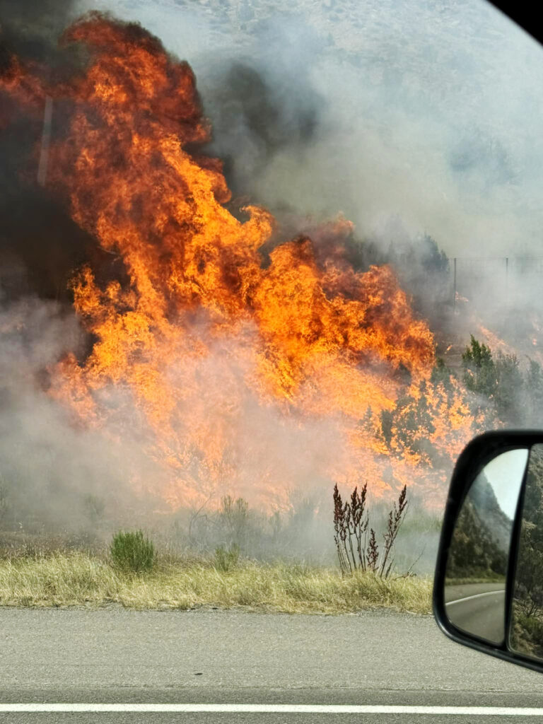
Highway 82 is prone to rockslides and mudslides in heavy rain. Stay
alert for rocks and debris on roads, and avoid driving on flooded
roads. Find an alternate route.

&&

LAT…LON 3947 10728 3948 10730 3949 10730 3949 10728
3947 10725 3946 10727

FLASH FLOOD…RADAR INDICATED

Garco911 and NWS: Flood warning / mudslide closes Highway 82 westbound

GCSO: Interstate 70 closed between Rulison and West Rifle due to fire

Garfield County Sheriff’s Office

July 22, 2024, 3:43 p.m. – Interstate 70 closed between mile markers 81 and 87 (West Rifle exit to Rulison) due to brush fire.

July 22, 2024, 3:25 p.m.Colorado River Fire Rescue (CRFR) crews along with Grand Valley Fire Protection District and Upper Colorado River Interagency Fire Management Unit are on the scene of multiple fires along I-70 starting at mile marker 87 westbound. I-70 westbound (West Rifle exit) is closed. Please stay away from the frontage roads and avoid the area.

A brush fire burns along Interstate 70 in-between Rulison and West Rifle.
GCSO: Interstate 70 closed between Rulison and West Rifle due to fire

GarCo911: Eastbound I-70 closed in Glenwood Canyon due to fire

Garfield County Emergency Communications Authority

7.12.24, 2:50 p.m.: GarCo911: I-70 is open between mile markers 124-133, west of Hanging Lake to Dotsero, in both lanes.

7.12.24, 2:30 p.m.: GarCo911: I-70 westbound is open between mile markers 124-133, west of Hanging Lake to Dotsero. East bound lanes remain closed.

7.12.24, 2:18 p.m.: Glenwood Springs Fire Department: At approximately 1:27 p.m., we were called to a reported vehicle fire on the eastbound lanes of I-70 in the Glenwood Canyon. Upon arrival, crews found the fire had spread to vegetation in the median. Firefighters immediately began extinguishment efforts. The fire has been knocked down. Crews are working to extinguish any remaining hot spots.

7.12.24, 1:43 p.m.: Interstate 70 is closed between mile-markers 124 and 133, both directions, west of Hanging Lake to Dotsero, due to a fire.

GarCo911: Eastbound I-70 closed in Glenwood Canyon due to fire

Garco911: 114 S Roundabout is open in all directions, Glenwood Springs

5.22.24, 5:45 p.m. – I-70 is open at mile marker 114 all directions, and at the 114 S roundabout (Gilstrap Ct/ Midland Ave).

5.22.24, 12:59 p.m. – (City Road) is closed at 114 S Roundabout all directions, Gilstrap ct/ Midland Ave Glenwood Springs, due to an accident. Use the 116 Main Glenwood exit.

Garco911: 114 S Roundabout is open in all directions, Glenwood Springs