Grand Valley Fire: Battlement Trail Fire update

Grand Valley Fire Protection District

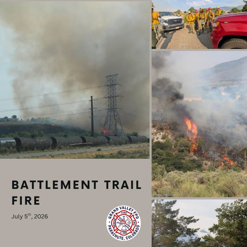
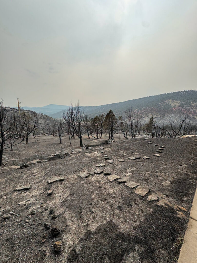
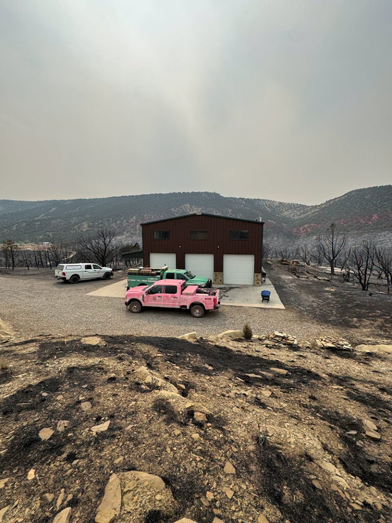
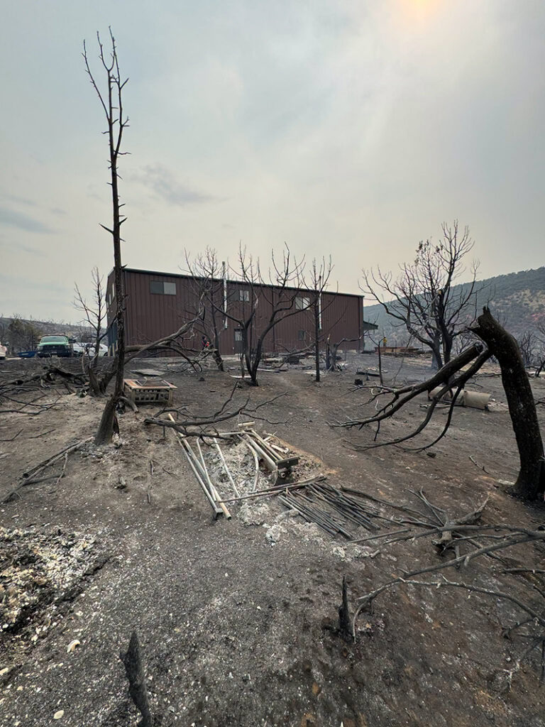
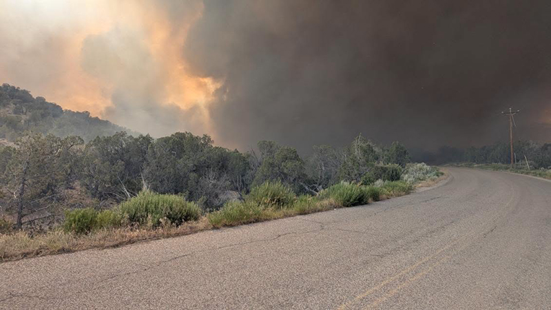
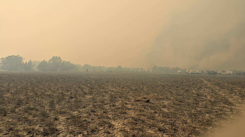
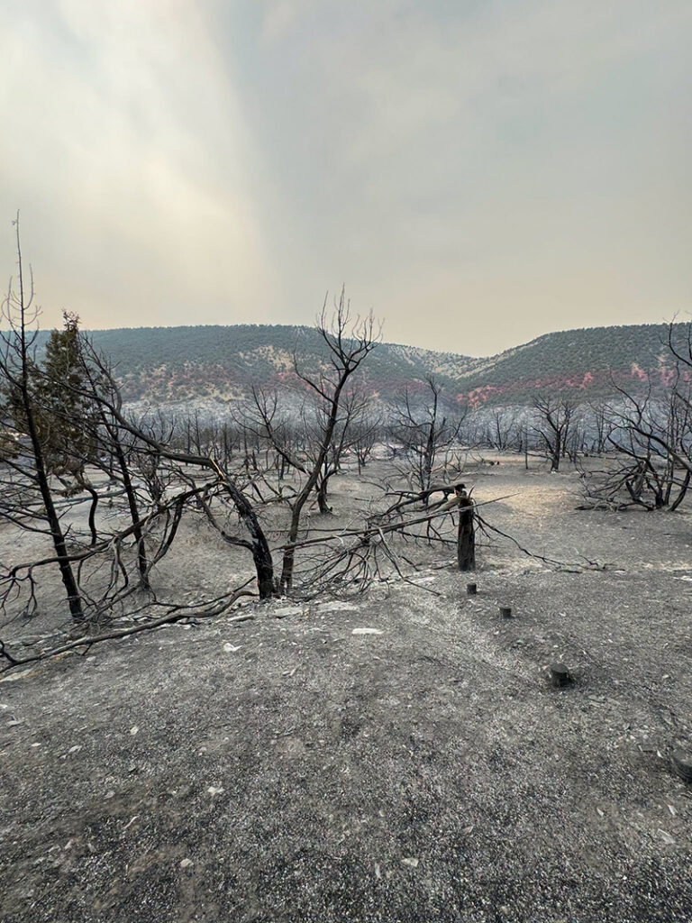
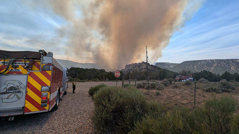
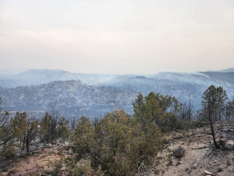
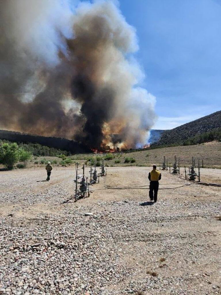
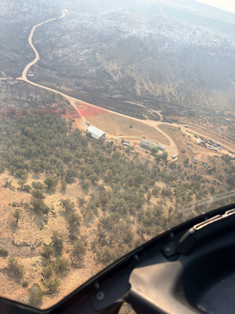
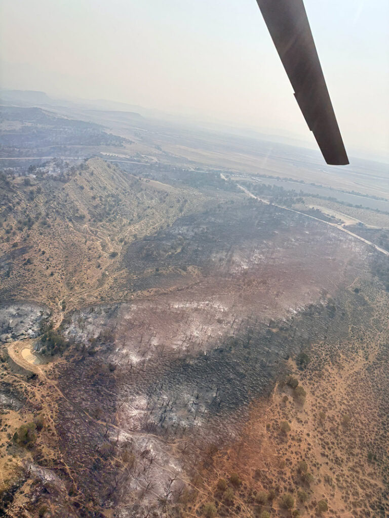
Parachute, Colorado – July 6, 2026 – The Battlement Trail Fire, which started on July 5, 2026, at approximately 1645 hours, is now 99% contained. Fire crews will continue monitoring the area over the next several days before declaring full containment. The total fire area was mapped at 20.8 acres.

A coordinated multi-agency response ensured rapid progress toward containment.

Resources included:

  • Upper Colorado River Fire – Engines and unified command
  • Colorado River Fire Rescue – Engine and crew
  • De Beque Fire – Engine and crew
  • Angry Bear Firefighter LLC – Hand crew
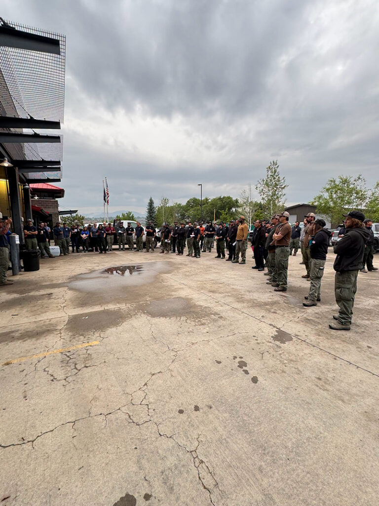
  • Grand Valley Fire Protection District – Two Type 6 engines, one Type 1 structure engine, one tender, and command vehicles
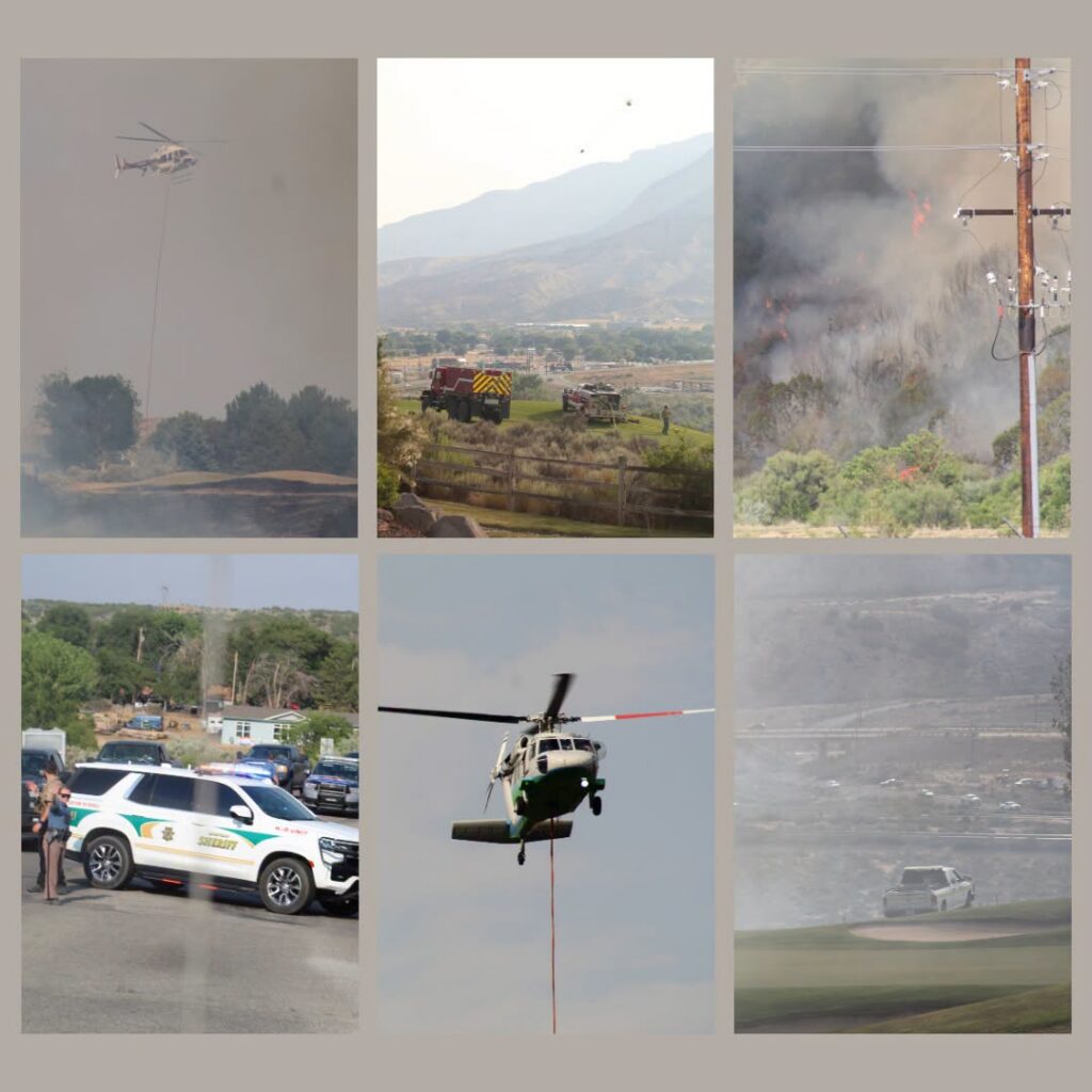
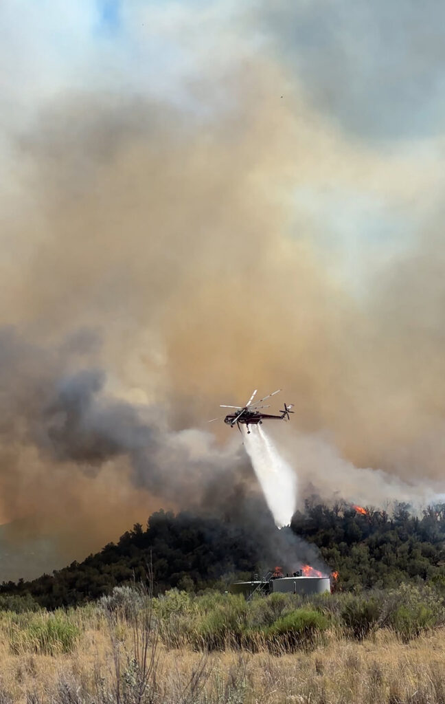
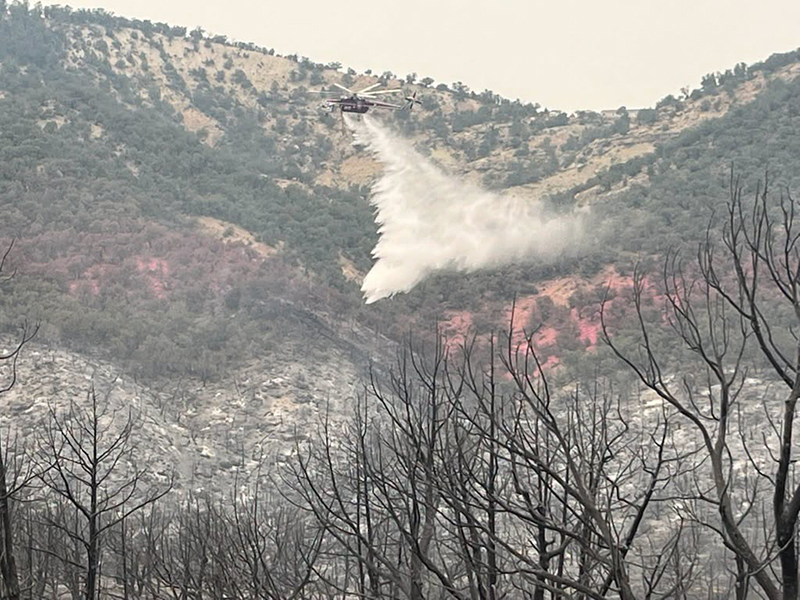
  • Aviation support included three helicopters providing water drops, reconnaissance, and support to ground crews.

Local partners supported emergency operations throughout the incident. The Garfield County Emergency Manager, Parachute Police Department, Garfield County Sheriff’s Office, Colorado State Patrol, and Garfield County Emergency Communications assisted with evacuations, road closures, and incident coordination.

Additional thanks go to the utilities and community partners who responded quickly to support affected residents and secure infrastructure: Holy Cross Energy, Xcel Energy, the Battlement Mesa Metro District, and Garfield 16 School District, which opened Grand Valley High School as an evacuation center.

Crews will remain on scene to secure the perimeter, address hotspots, and ensure the safety of nearby trails and recreation areas.

GRAND VALLEY FIRE PROTECTION DISTRICT
Grand Valley Fire website | facebook @Grand Valley Fire Protection District

Grand Valley Fire: Battlement Trail Fire update

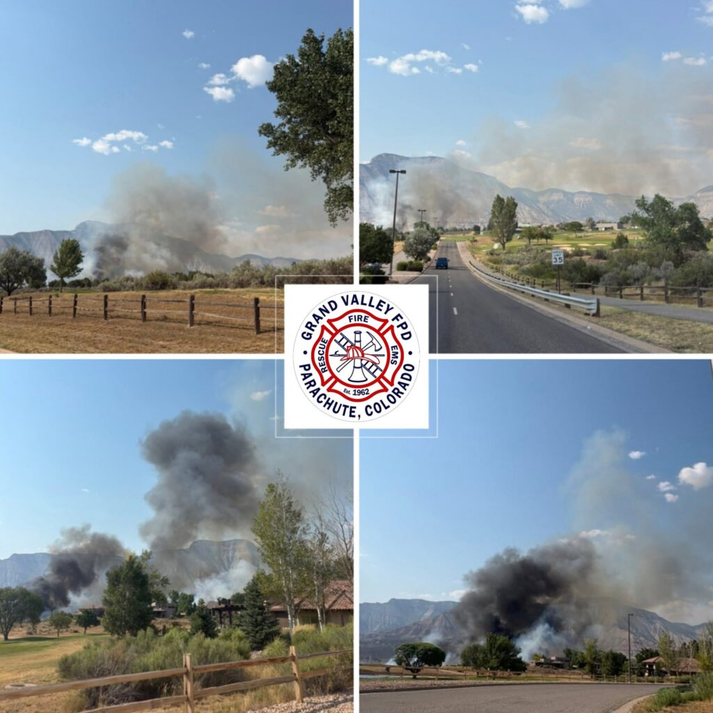
Grand Valley Fire: photos of fire

Grand Valley Fire Protection District

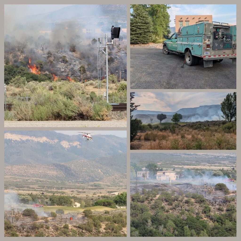
Grand Valley Fire photos of Battlement Mesa fire

Update 5:35 PM: CORD 309 Battlement to Rulison – on READY status.

~~~~~~~~~~~~~~~~~~~

Update 5:25 PM: Battlement Mesa Village/Battlement Mesa Golf EVACUATE NOW!

~~~~~~~~~~~~~~~~~~~

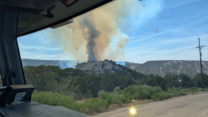
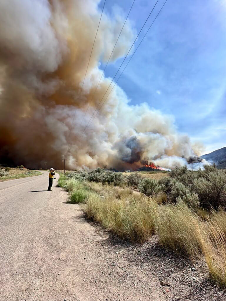
New start, Battlement Trail Fire. Began as a power pole fire and has spread toward the Battlement Golf Course. Officers are going door to door for evacuations in the neighborhood adjacent to the golf course. Prepare to evacuate now and follow emergency notifications from Garfield County Emergency Communications Authority.

GRAND VALLEY FIRE PROTECTION DISTRICT
Grand Valley Fire website | facebook @Grand Valley Fire Protection District

GARFIELD COUNTY SHERIFF’S OFFICE
GCSO facebook @GarcoSheriff | website

Grand Valley Fire: photos of fire

GCSO: Residents may return to homes in Battlement Mesa

Garfield County Sheriff, Grand Valley Fire

7.5.26, 9:30 pm – Residents of The Reserve/Battlement Mesa Village are now able to return to their homes. The fire will be monitored by crews overnight. Thank you.

Battlement Mesa Trail Fire July 5, 2026

Battlement Mesa Trail Fire July 5, 2026

Battlement Mesa Trail Fire July 5, 2026

Update: Traffic is reopened on CO RD 301.

Update 6:05 PM: Traffic is being allowed to exit down CO RD 301, leaving Battlement, however, no traffic is allowed to enter. Traffic being diverted to the Boat Ramp parking lot or being turned around.

7.5.26, 5:36 pm – COUNTY ROAD 309 BATTLEMENT MESA TO RULISON: Due to fire/fuego, you are in READY (GREEN) status. Prepare, monitor, and pack valuables. You will receive another message if your area’s status is changed.

Ready Set Go graphic

En español. De Garfield County Sheriff, Grand Valley Fire – COUNTY ROAD 309 BATTLEMENT MESA TO RULISON: Debido a fire/fuego, usted se encuentra en estado de preparación (VERDE). Prepárese, manténgase informado y empaque sus objetos de valor. Recibirá otro mensaje si cambia el estado de su zona.

Preparate, listo, fuera graphic
GCSO: Residents may return to homes in Battlement Mesa

GCSO: Battlement Mesa Golf/Battlement Creek Village immediate evacuation

Garfield County Sheriff’s Office

7.5.26, 5:20 pm – From Garfield County Sheriff – Battlement Mesa Golf/Battlement Creek Village: due to fire/fuego, your status is GO (RED). Evacuate immediately.

Español sigue. Desde Garfield County Sheriff – Battlement Mesa Golf/Battlement Creek Village: debido a fire/fuego, su estado es IR (ROJO). Evacúe inmediatamente. Evacuate to Grand Valley High School.

GCSO: Battlement Mesa Golf/Battlement Creek Village immediate evacuation

GCSO: Fire at Battlement Mesa Golf Course

Garfield County Sheriff’s Office

7.5.25, 4:50 p.m. – Emergency crews are responding to a fire at the Battlement Mesa Golf Course. Prepare for possible short notice evacuation.

Avoid the area and give first responders plenty of room to work. We will share updates as more information becomes available.

GCSO: Incendio en el campo de golf Battlement Mesa

Oficina del Sheriff del Condado de Garfield

7 de mayo de 2025, 16:50 h – Los equipos de emergencia están respondiendo a un incendio en el campo de golf Battlement Mesa. Prepárense para una posible evacuación con poca antelación.

Eviten la zona y dejen suficiente espacio para que los servicios de emergencia puedan trabajar. Compartiremos actualizaciones a medida que tengamos más información.

GCSO: Fire at Battlement Mesa Golf Course

GCSO: Evacuations lifted for Dry Creek Fire near Rifle

Garfield County Sheriff’s Office

6.28.26, 8:00 p.m. – All evacuations and preparedness statuses under READY | SET | GO are lifted for the Dry Creek Fire.

Garfield County Sheriff’s Office thanks Colorado River Fire Rescue and the Upper Colorado River Interagency Fire Management Unit Type 3 Team, as well as all responding agencies, and the community for support and assistance during the fire.

Garfield County remains under a Fire Weather Watch and Red Flag Warnings. Residents are requested to take extreme caution in outdoor activities to avoid any fire risks.

Please only call 911 to report emergencies, so that dispatch services can be fully available for critical operations.

GARFIELD COUNTY EMERGENCY COMMUNICATIONS AUTHORITY
GARFIELD COUNTY EMERGENCY MANAGEMENT | GARFIELD COUNTY SHERIFF’S OFFICE
REGISTER FOR ALERTS – garco911.com | Reachwell mobile app
INCIDENT UPDATES/SUBSCRIBE – garfieldcounty.net
FACEBOOK – Garfield County Sheriff’s Office #facebook.com/GarcoSheriff

GCSO: Se levantan las órdenes de evacuación por el incendio de Dry Creek cerca de Rifle.

28/06/2026, 20:00 h – Se levantan todas las órdenes de evacuación y los estados de preparación bajo PREPÃRATE | LISTO | FUERA para el incendio de Dry Creek.

La Oficina del Sheriff del Condado de Garfield agradece a Colorado River Fire Rescue y al Equipo Tipo 3 de la Unidad Interinstitucional de Gestión de Incendios del Alto Río Colorado, así como a todas las agencias que respondieron y a la comunidad por el apoyo y la asistencia brindados durante el incendio.

El condado de Garfield permanece bajo alerta por riesgo de incendio y aviso de bandera roja. Se solicita a los residentes que extremen las precauciones al realizar actividades al aire libre para evitar cualquier riesgo de incendio.

Por favor, llame al 911 únicamente en caso de emergencia, para que los servicios de emergencia puedan estar totalmente disponibles para operaciones críticas.

AUTORIDAD DE COMUNICACIONES DE EMERGENCIA DEL CONDADO DE GARFIELD
GESTIÓN DE EMERGENCIAS DEL CONDADO DE GARFIELD | OFICINA DEL SHERIFF DEL CONDADO DE GARFIELD
REGÃSTRESE PARA RECIBIR ALERTAS – garco911.com | Aplicación móvil Reachwell
ACTUALIZACIONES DE INCIDENTES/SUSCRÃBASE – garfieldcounty.net
FACEBOOK – Oficina del Sheriff del Condado de Garfield # facebook.com/GarcoSheriff

GCSO: Evacuations lifted for Dry Creek Fire near Rifle

CORRECTION: CRFR: morning update on Dry Creek Fire

Correction: The previous message had the wrong name in the headline for the fire.

Colorado River Fire Rescue

June 25, 2026, 9:11 a.m. – Thanks to firefighters’ efforts yesterday, the fire remains at 316 acres.

Overnight moisture provides favorable conditions for firefighter suppression efforts. Today, crews will focus on securing the fire perimeter and extinguishing hot spots on the interior area of the fire perimeter. Smoke dispersal forecasts improved smoke dispersal this afternoon.

Resources assigned include three Type 2 hand crews, one suppression module, 11 fire engines, two water tenders, and one aircraft available if needed.

For the latest evacuation information, visit Garfield County’s evacuation map: https://bit.ly/drycreekfire. Firefighters remain active throughout the incident area, and increased fire apparatus traffic is expected. Please avoid the area if possible.

Burn area of the Dry Creek Fire.

Smoke column from the Dry Creek Fire,

Team morning briefing for the Dry Creek Fire.

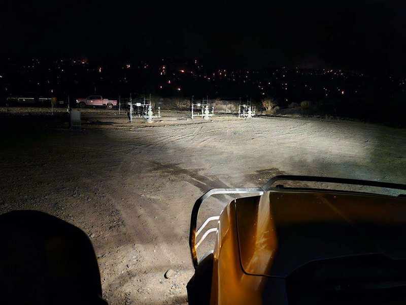
Emergency services respond to the Dry Creek Fire by natural gas facilities.

Emergency services respond to the Dry Creek Fire by natural gas facilities.

Emergency services respond to the Dry Creek Fire.

Burn area of the Dry Creek Fire.

Burn area of the Dry Creek Fire.

Emergency services respond to the Dry Creek Fire.

Emergency services respond to the Dry Creek Fire by natural gas facilities.

Burn area of Dry Creek Fire.

Emergency services respond to the Dry Creek Fire by natural gas facilities.

Information channels

Garfield County Sheriff’s Office
FACEBOOK – Garfield County Sheriff’s Office #facebook.com/GarcoSheriff
Garfield County Emergency Management
INCIDENT UPDATES/SUBSCRIBE – garfieldcounty.net
Garfield County Emergency Communications Authority
REGISTER FOR ALERTS – garco911.com and Reachwell mobile app

Colorado River Fire Rescue
CRFR website | facebook: #ColoradoRiverFireRescue

CORRECTION: CRFR: morning update on Dry Creek Fire

CRFR: morning update on Dry Creek Fire

Colorado River Fire Rescue

June 25, 2026, 9:11 a.m. – Thanks to firefighters’ efforts yesterday, the fire remains at 316 acres.

Overnight moisture provides favorable conditions for firefighter suppression efforts. Today, crews will focus on securing the fire perimeter and extinguishing hot spots on the interior area of the fire perimeter. Smoke dispersal forecasts improved smoke dispersal this afternoon.

Resources assigned include three Type 2 hand crews, one suppression module, 11 fire engines, two water tenders, and one aircraft available if needed.

For the latest evacuation information, visit Garfield County’s evacuation map: https://bit.ly/drycreekfire. Firefighters remain active throughout the incident area, and increased fire apparatus traffic is expected. Please avoid the area if possible.

Burn area of the Dry Creek Fire.

Smoke column from the Dry Creek Fire,

Team morning briefing for the Dry Creek Fire.

Emergency services respond to the Dry Creek Fire by natural gas facilities.

Emergency services respond to the Dry Creek Fire by natural gas facilities.

Emergency services respond to the Dry Creek Fire.

Burn area of the Dry Creek Fire.

Burn area of the Dry Creek Fire.

Emergency services respond to the Dry Creek Fire.

Emergency services respond to the Dry Creek Fire by natural gas facilities.

Burn area of Dry Creek Fire.

Emergency services respond to the Dry Creek Fire by natural gas facilities.

Information channels

Garfield County Sheriff’s Office
FACEBOOK – Garfield County Sheriff’s Office #facebook.com/GarcoSheriff
Garfield County Emergency Management
INCIDENT UPDATES/SUBSCRIBE – garfieldcounty.net
Garfield County Emergency Communications Authority
REGISTER FOR ALERTS – garco911.com and Reachwell mobile app

Colorado River Fire Rescue
CRFR website | facebook: #ColoradoRiverFireRescue

CRFR: morning update on Dry Creek Fire

GCSO: Dry Creek Fire evacuation status

Garfield County Sheriff’s Office

Garfield County is utilizing its Ready, Set, Go evacuation status for the Dry Creek Fire near Rifle. Evacuations are in place around Grass Mesa (Go) and Set status is in place for the area near Hunter Mesa. 

Evacuation map

The evacuation map link is https://bit.ly/drycreekfire.

GO 

GO – Evacuate immediately from your area. LEAVE NOW! Danger in your area.

GO status is in place east of Grass Mesa, along the ridge line east of Grass Mesa Road, including Gage Road and County Road 319 to the east. 

Nobody should access this area at this time.

SET

SET – Short notice evacuation likely in your area. Prepare for sudden evacuation; leave now if you need extra time.

SET status is in place for the area near Hunter Mesa and now Grass Mesa.

The area east of the fire around Hunter Mesa is in SET status. This includes the junction of County Road 315 and Brandon Way to the northeast to a half mile south of County Road 333 and County Road 315 to the southeast. The southern boundary is a half mile north of County Road 322 (Shaeffer). The northern boundary heads straight west at the Brandon Way and County Road 315 junction.

SET status is also now in place for Grass Mesa, inlcuding Grass Mesa Road, south from the intersection with County Road 319, including Sunset Lane, Rodeo Drive, Coyote Trail, Arrowhead Trail, and roads north to Mustang Mesa Trail, including Cedar Breaks Road, Quicksilver Way, and Quick Silver Court.  

During an evacuation

Prepare to evacuate quickly and safely in the event of an emergency. Planning and preparation can help you take quick action.

Ready Set Go
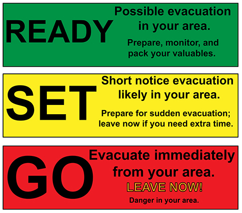
Ready – possible evacuation in your area. Prepare, monitor and pack your valuables.
Set – Short notice evacuation likely in your area. Prepare for sudden evacuation; leave now if you need extra time.
Go – Evacuate immediately from your area. LEAVE NOW! Danger in your area.

Information channels

Garfield County Sheriff’s Office
FACEBOOK – Garfield County Sheriff’s Office #facebook.com/GarcoSheriff
Garfield County Emergency Management
INCIDENT UPDATES/SUBSCRIBE – garfieldcounty.net
Garfield County Emergency Communications Authority
REGISTER FOR ALERTS – garco911.com and Reachwell mobile app

Colorado River Fire Rescue
CRFR website | facebook: #ColoradoRiverFireRescue

______________________________

Oficina del Sheriff del Condado de Garfield

Estado de evacuación por el incendio de Dry Creek El condado de Garfield ha activado su protocolo de evacuación “Preparados, Listos, ¡Adelante!” para el incendio de Dry Creek cerca de Rifle. Se han ordenado evacuaciones en los alrededores de Grass Mesa (¡Adelante!) y se ha activado el protocolo “Listos, Listos, ¡Adelante!” para la zona cercana a Hunter Mesa.

Mapa de evacuación

El enlace al mapa de evacuación es https://bit.ly/drycreekfire.

FUERA

Evacúa tu zona de inmediato SAL AHORA! Hay peligro en su zona.

Grass Mesa para el incendio de Dry Creek cerca de Rifle

Se ha habilitado la vía pública al este de Grass Mesa, a lo largo de la cresta al este de Grass Mesa Rd, incluyendo Gage Rd y County Road 319 al este.

Nadie debería acceder a esta zona en este momento.

LISTO

Es probable una evacuación con poco aviso en tu zona. Preparate para una evacuación repentina; sal ahora si necesitas tiempo adicional.

Alerta: Es probable que se produzca una evacuación con poca antelación en su zona. Prepárese para una evacuación repentina; salga ahora si necesita más tiempo.

Se ha establecido un estado de alerta para el área cercana a Hunter Mesa y Grass Mesa.

El área al este del incendio, alrededor de Hunter Mesa, se encuentra bajo estado de incendio controlado. Esto incluye desde el cruce de la carretera del condado 315 y Brandon Way al noreste hasta medio kilómetro al sur del cruce de la carretera del condado 333 y la carretera del condado 315 al sureste. El límite sur se ubica medio kilómetro al norte de la carretera del condado 322 (Shaeffer). El límite norte se extiende directamente hacia el oeste en el cruce de Brandon Way y la carretera del condado 315.

También se ha establecido el estado de seguridad para Grass Mesa, incluyendo Grass Mesa Road, al sur de la intersección con County Road 319, incluyendo Sunset Lane, Rodeo Drive, Coyote Trail, Arrowhead Trail y las carreteras al norte hasta Mustang Mesa Trail, incluyendo Cedar Breaks Road, Quicksilver Way y Quick Silver Court.

El límite occidental es la zona Go en Grass Mesa.

Durante una evacuación

Prepárese para evacuar rápida y seguramente en caso de emergencia. La planificación y la preparación pueden ayudarle a actuar con rapidez.
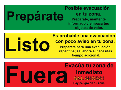
Preparate, listo, fuera graphic

Prepárate: Posible evacuación en tu zona. Prepárate, mantente informado y empaca tus objetos de valor.
Listo: Es probable una evacuación con poco aviso en tu zona. Preparate para una evacuación repentina; sal ahora si necesitas tiempo adicional.
Fuera: Evacúa tu zona de inmediato SAL AHORA! Hay peligro en su zona.

Canales de información

Oficina del Sheriff del Condado de Garfield
FACEBOOK – Oficina del Sheriff del Condado de Garfield # facebook.com/GarcoSheriff
Gestión de Emergencias del Condado de Garfield
ACTUALIZACIONES DE INCIDENTES/SUSCRÃBASE – garfieldcounty.net
Autoridad de Comunicaciones de Emergencia del Condado de Garfield
REGÃSTRESE PARA RECIBIR ALERTAS – garco911.com y la aplicación móvil Reachwell

Rescate de Incendios del Río Colorado
Sitio web de CRFR  | facebook: # ColoradoRiverFireRescue

GCSO: Dry Creek Fire evacuation status

CRFR: Dry Creek Fire update

Colorado River Fire Rescue

Firefighting helicopter drops water on the Dry Creek Fire.

June 24, 2026, 2:57 p.m. – Firefighters have made good progress constructing direct handline and installing hose lays along the western perimeter of the fire. The eastern perimeter is secure, and crews are focused on extinguishing interior hot spots.

Current resources assigned to the incident include three type 2 hand crews, a suppression module, nine fire engines, and two water tenders. Aircraft are in the area and available if needed.

Evacuations are expected to remain in effect as forecasted winds are expected to test established fire lines and electric lines are inspected. Visit https://bit.ly/drycreekfire for Garfield County’s evacuation map for all evacuation updates.

Upper Colorado River Interagency Fire Management Unit

A helicopter dropping water on the Dry Creek Fire.

Emergency services respond to the Dry Creek Fire.

Aerial view of the Dry Creek Fire burn area.

Aerial view of the Dry Creek Fire burn area.

Colorado River Fire Rescue
CRFR website | facebook: #ColoradoRiverFireRescue
CRFR: Dry Creek Fire update