FDNY Incident Management Team
Incident Commander Mike Burke
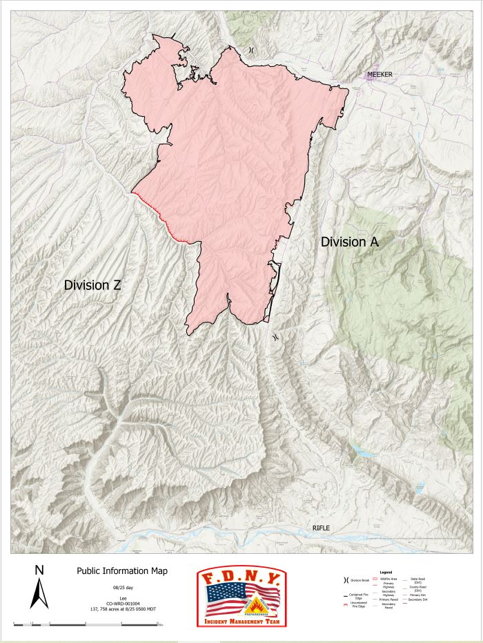
Location: 11 miles south of Meeker, Colorado
Start Date: 08/02/2025
Cause: Lightning Size: Lee Fire: 137,758 acres
Containment: Lee Fire: 90%
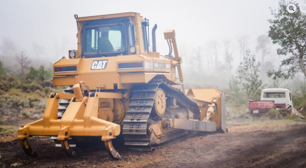
218 Total Personnel; 9 Engines; 2 Hand Crews; 2 Water Tenders; 2 Dozers
KEY MESSAGE
The Lee Fire remains 137,758 acres with 90 percent containment. Fire activity has been minimal, with no growth observed. An infrared (IR) flight detected only a few hot spots, all of which were well inside the fire’s edge. Recent rainfall has kept conditions favorable, though crews remain mindful of flash flooding and debris flows that may follow periods of heavy rain.
CURRENT STATUS
Today, firefighters will continue patrols along the fire’s edge to ensure it remains within its footprint. Suppression repair is underway in several areas, including debris removal, with crews working closely with Resource Advisors to complete this work to agency standards and support long-term recovery. Progress remains steady as work continues toward full containment and recovery of the fire area.

WEATHER AND FIRE BEHAVIOR
Widespread rain showers are expected on Friday morning and will continue through much of the day. Some heavier showers may produce lightning and thunder. Conditions are forecast to dry out by late afternoon, with clearing skies into the evening. The rainfall will help keep fire activity minimal, though crews will remain alert for lightning strikes and the potential for flash flooding or debris flows in and around the burn area.
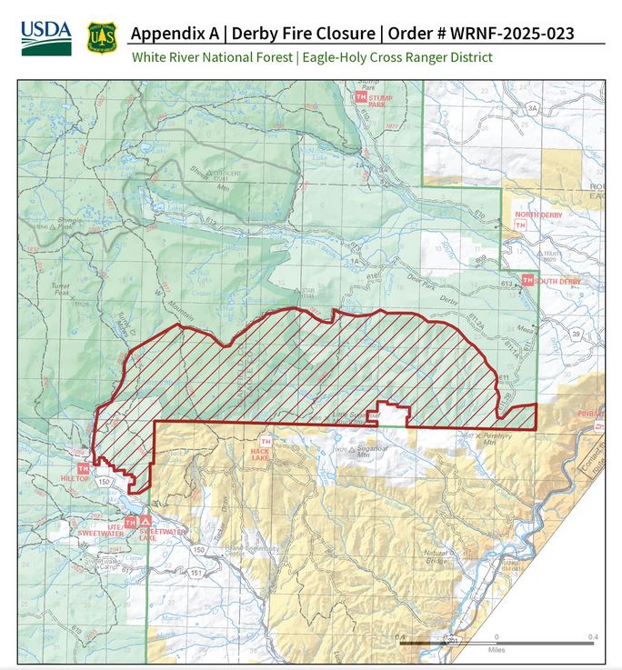
CLOSURES AND SPECIAL MESSAGES
For accurate up-to-date information on evacuations and road closures for Rio Blanco County go to the Rio Blanco County Sheriff’s Office Facebook page at: https://www.facebook.com/RioBlancoCountySheriffsOffice.
For Garfield County updates go to: https://www.garfieldcounty.net/.
USFS White River National Forest and BLM closure rescission information is available
at: https://inciweb.wildfire.gov/incident-closures/cowrd-lee-fire