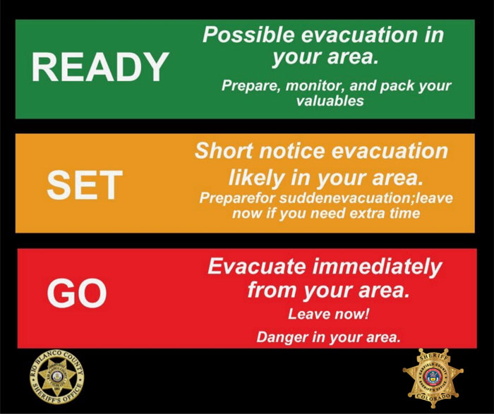
GO (RED) EVACUATE zone 265 by noon today, including Sweetwater, Sweetwater Lake and CR 150 Road and sections of Colorado River Road from Sweetwater to Red Dirt Creek, both in Eagle and Garfield counties.
FACEBOOK – Derby fire @derbyfire
INCIWEB – Derby Fire
WHITE RIVER NATIONAL FOREST – facebook.com/whiteriverNF @whiteriverNF
_______________
EAGLE COUNTY INFO
DERBY FIRE: EAGLE COUNTY EVACUATION MAP
REGISTER FOR ALERTS – 911 alerts
INCIDENT UPDATES – EC Emergency or Reachwell app
FACEBOOK – facebook.com/eaglecountyso@eaglecountyso
________________
GARFIELD COUNTY INFO
DERBY FIRE: GARFIELD COUNTY INTERACTIVE EVACUATION MAP
REGISTER FOR ALERTS – 911 alerts or Reachwell app
INCIDENT UPDATES / SUBSCRIBE – Garfield County emergency
FACEBOOK – facebook.com/garcosheriff @garcosheriff
DERBY INCENDIO: SALIR (ROJO) EVACUAR
SALIR (ROJO) EVACUAR zona 265 al mediodía de hoy, incluyendo Sweetwater, Sweetwater Lake y CR 150 Road y secciones de Colorado River Road desde Sweetwater hasta Red Dirt Creek, ambos en los condados de Eagle y Garfield.
FACEBOOK – Derby Fire @derbyfire
INCIWEB – Derby Fire
BOSQUE NACIONAL WHITE RIVER – facebook.com/whiteriverNF @whiteriverNF
____________
INFORMACIÓN DEL CONDADO DE EAGLE
INCENDIO DE DERBY: MAPA DE EVACUACIÓN DEL CONDADO DE EAGLE
REGÍSTRESE PARA RECIBIR ALERTAS – Alertas del 911
ACTUALIZACIONES DE INCIDENTES – Emergencia de EC o aplicación Reachwell
FACEBOOK – facebook.com/eaglecountyso @eaglecountyso
________________
INFORMACIÓN DEL CONDADO DE GARFIELD
DERBY FIRE: MAPA DE EVACUACIÓN INTERACTIVO DEL CONDADO DE GARFIELD
REGÍSTRESE PARA RECIBIR ALERTAS – Alertas del 911 o aplicación Reachwell
ACTUALIZACIONES DE INCIDENTES / SUSCRÍBASE – Emergencia del condado de Garfield
FACEBOOK – facebook.com/garcosheriff @garcosheriff
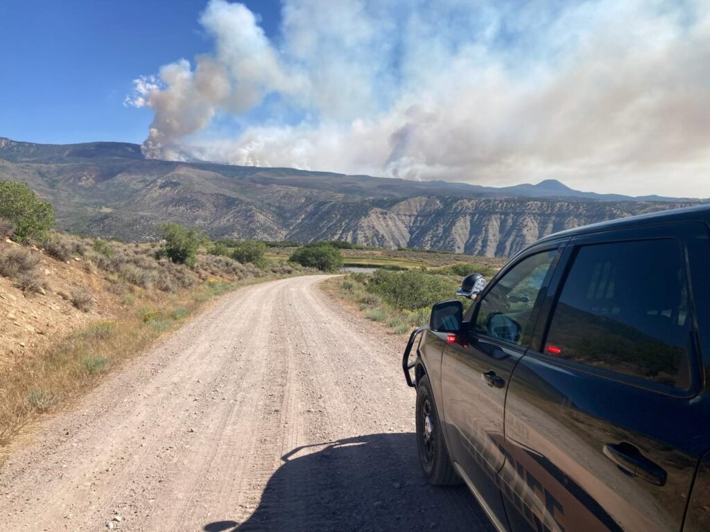
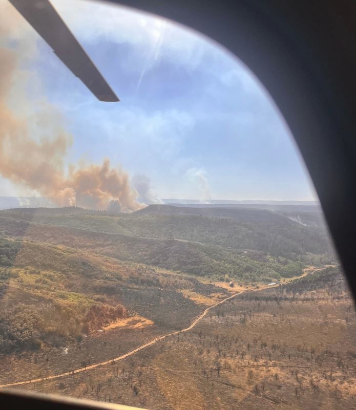
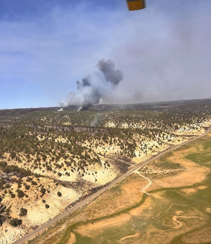
Photo provided by Garfield County Sheriff’s office